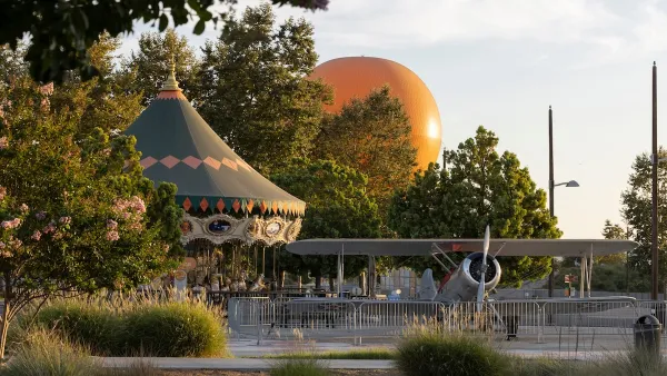
A new University of Toronto study analyzes anonymous GPS data from smartphones to track how people use and interact with green spaces.

Park planning has become increasingly data-driven. The use of location data from mobile devices is one of the latest trends in data-driven park planning, as previously reported in this article. Specifically, the use of such data for studies on park visitors can be more affordable and accurate than conducting in-person counts and/or surveys at parks.
In this article by Alexa Battler, researchers at the University of Toronto explain how anonymous cellphone data can help park planners to strike a better balance between the needs of people and wildlife. Their study, published in the journal PLOS Computational Biology, is among the first to use anonymous GPS data from smartphones to track how people interact with green spaces, potentially impacting biodiversity.
GPS data has been used to gauge people’s activities in green spaces before, but most of the studies have relied on volunteers signing up to have their information used, painting a limited or partial picture. For this study, researchers relied on data from Mapbox, a company that creates custom maps for major apps including Facebook, Snapchat and Uber. Users’ identities are kept anonymous while their locations are gathered every two hours. The information is typically used for marketing and business purposes, such as selecting the busiest hubs to place a new franchise.
The Mapbox data allowed researchers to track which qualities of parks attracted the most people, including recreation amenities such as picnic benches and trails, and types of land coverage such as forests and swamps. For more information, please read the source article.
FULL STORY: How do people use public parks? Researchers study cellphone data to understand green space use

Planetizen Federal Action Tracker
A weekly monitor of how Trump’s orders and actions are impacting planners and planning in America.

Maui's Vacation Rental Debate Turns Ugly
Verbal attacks, misinformation campaigns and fistfights plague a high-stakes debate to convert thousands of vacation rentals into long-term housing.

San Francisco Suspends Traffic Calming Amidst Record Deaths
Citing “a challenging fiscal landscape,” the city will cease the program on the heels of 42 traffic deaths, including 24 pedestrians.

Amtrak Rolls Out New Orleans to Alabama “Mardi Gras” Train
The new service will operate morning and evening departures between Mobile and New Orleans.

The Subversive Car-Free Guide to Trump's Great American Road Trip
Car-free ways to access Chicagoland’s best tourist attractions.

San Antonio and Austin are Fusing Into one Massive Megaregion
The region spanning the two central Texas cities is growing fast, posing challenges for local infrastructure and water supplies.
Urban Design for Planners 1: Software Tools
This six-course series explores essential urban design concepts using open source software and equips planners with the tools they need to participate fully in the urban design process.
Planning for Universal Design
Learn the tools for implementing Universal Design in planning regulations.
Heyer Gruel & Associates PA
JM Goldson LLC
Custer County Colorado
City of Camden Redevelopment Agency
City of Astoria
Transportation Research & Education Center (TREC) at Portland State University
Jefferson Parish Government
Camden Redevelopment Agency
City of Claremont


