The success of the busway project could point to a longer-term shift away from planning and design strategies that favor cars.


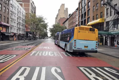
"The 14th Street Busway in New York City is a great case study in why drivers shouldn’t fight funding for transit—but should support it for their own good," writes Patrick Sisson.
Sisson reviews outcomes of the busway, including faster bus travel times and minimal impacts on car travel times as well as mode shifts in the area. "During its short existence so far, the Busway has boosted bus ridership 24 percent on weekdays and 30 percent on weekends. The impact has spilled over to Citi Bike, the city’s bike-share network; there’s been a 17 percent increase in bike usage on 14th Street during the morning commute, and ridership has also jumped on new protected bike lanes on 12th and 13th streets."
Over the long term, infrastructure like the 14th Street Busway benefits all road users. For one, the increase in transit ridership means fewer cars on city streets. "And while some drivers might not like the idea of sharing road space with buses, busways offer an incredibly cost-effective mass transit solution compared to light rail or subways," says Sisson.
Read the full story: How better bus lanes can fix everyone’s commute

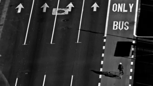
More Bus Lane Cameras Coming to N.Y.C.
New state legislation will allow the city to expand the network of cameras and step up enforcement.
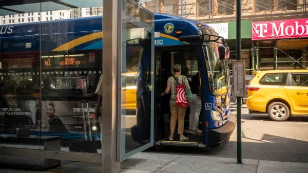
New NYC plan promises to speed up buses by up to 20%
Although the mayor's plan to make buses fare-free faces an uphill battle, a new proposal could make them significantly faster.
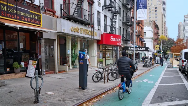
Study: Protected bike lanes increase Citi Bike rides by nearly 400 rides a month
An analysis of millions of NYC bike share rides reveals that only protected bike lanes have a 'statistically significant' increase in ridership.

Planetizen Federal Action Tracker
A weekly monitor of how Trump’s orders and actions are impacting planners and planning in America.

The state-sanctioned urbicide of Austin
People don’t kill cities. Freeways do.

US to reduce Colorado River water deliveries to Mexico
A new Colorado Treaty amendment reduces Mexico’s Colorado River water allocation by 250,000 acre feet.

Brightline West’s future may rely on $6 billion federal loan
The company has until Nov. 2 to make a $400 million equity investment into its proposed high-speed rail line.

LA Metro’s ultimatum: no extra buses for LA28 if federal funding isn’t imminently secured
If Metro does not provide additional buses, LA28 organizers will have to find a new way to manage Olympic traffic. LA28’s budget does not include a line item for transit.

Colorado’s Largest Data Center Could Rise Next to Homes — Without a Public Hearing
The proposed campus would consume 11 times the power of Denver International Airport; as it has across the country, opposition mounts.

FREE Course: Walkable City 1: Why Walkability?
After describing his path towards focusing on walkability as the essence of good planning, Jeff Speck marches through his five principal reasons for making more walkable places.
Reinventing Malls: Planning Alchemy—Turning Gray Fields Into Gold
The course focuses on the opportunities and imperatives that shape reinvention of mall sites.

Eagle County Government
Harvard University Graduate School of Design
Nashville Planning Department
The Architects Foundation
University of Cincinnati Online
The Pocatello Development Authority
The Urban Renewal Agency of the City of Pocatello
Journal of the American Planning Association