


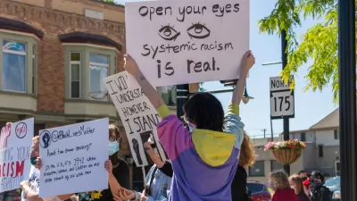
The people living in urban heat islands are much more likely to be inhabited by low-income people of color, and the roots of the environmental justice issue can be found in planning history.

Kale Williams shares news of a new study that connects urban heat islands (areas where temperatures are exacerbated by the built environment) to a history of racist land use regulations.
Now, a new study from Portland State University is showing, for the first time, that areas prone to excessive heat are disproportionately populated by low-income communities and people of color due to racist housing policies that stretch back more than a century.
Williams summarizes more of the study's findings:
Nearly every city included in the study saw higher temperatures in neighborhoods that were historically subject to discriminatory housing policies, with poorer areas seeing averages temperatures about five degrees higher than their wealthier counterparts. And, of the 108 urban areas analyzed, Portland came in with the worst temperature discrepancy between rich and poor, a difference of almost 13 degrees.
Jeremy S. Huffman, Vivek Shandas, and Nicholas Pendleton wrote the study, which was published in the Climate journal.


When Discussing Racist Monuments, Don't Forget Urban Freeways
The racist history of planning in Los Angeles is particularly evident in the way Interstate freeways were planned in the region.
Planning Directors Commit to Change on Racial Inequities
Planning directors around the country have acknowledged the historic role of the planning profession in furthering the causes of racial discrimination and have publicly committed to change that history.
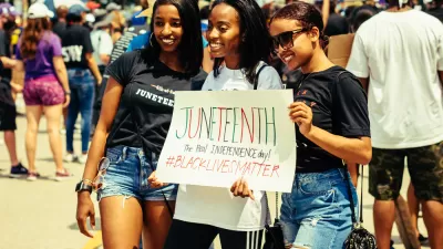
White House Marks Juneteenth by Pushing for Zoning Reforms
On a holiday that commemorates the end of slavery in the United States, the White House marked the occasion by discussion exclusionary zoning.

Maui's Vacation Rental Debate Turns Ugly
Verbal attacks, misinformation campaigns and fistfights plague a high-stakes debate to convert thousands of vacation rentals into long-term housing.

Planetizen Federal Action Tracker
A weekly monitor of how Trump’s orders and actions are impacting planners and planning in America.

In Urban Planning, AI Prompting Could be the New Design Thinking
Creativity has long been key to great urban design. What if we see AI as our new creative partner?

Cal Fire Chatbot Fails to Answer Basic Questions
An AI chatbot designed to provide information about wildfires can’t answer questions about evacuation orders, among other problems.

What Happens if Trump Kills Section 8?
The Trump admin aims to slash federal rental aid by nearly half and shift distribution to states. Experts warn this could spike homelessness and destabilize communities nationwide.

Sean Duffy Targets Rainbow Crosswalks in Road Safety Efforts
Despite evidence that colorful crosswalks actually improve intersection safety — and the lack of almost any crosswalks at all on the nation’s most dangerous arterial roads — U.S. Transportation Secretary Duffy is calling on states to remove them.
Urban Design for Planners 1: Software Tools
This six-course series explores essential urban design concepts using open source software and equips planners with the tools they need to participate fully in the urban design process.
Planning for Universal Design
Learn the tools for implementing Universal Design in planning regulations.
Appalachian Highlands Housing Partners
Gallatin County Department of Planning & Community Development
Heyer Gruel & Associates PA
Mpact (founded as Rail~Volution)
City of Camden Redevelopment Agency
City of Astoria
City of Portland
City of Laramie