In the northwest part of San Francisco, a new park will link the Presidio to the popular Crissy Field.


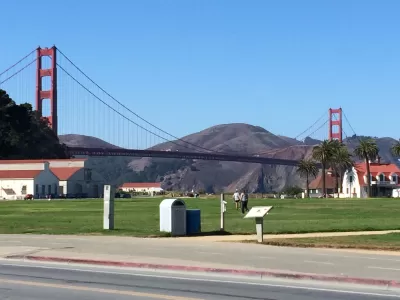
John King reports on the Tunnel Tops Park project, a new 14-acre sloping park in the Presidio in San Francisco. The park, designed by the same firm behind the High Line in New York City, will have gathering spaces and child-friendly play areas, in addition to a bluff with a promenade and outlooks. A stretch of land from the bluff will connect the Presidio to the adjacent Crissy Field.
"The park is intended to complete the transformation of the descent from the Main Post and Crissy Field — evoking topography that was altered in the 1930s when the Doyle Drive viaduct was erected to link downtown San Francisco and the Golden Gate Bridge," says King.
The project’s budget has increased from $51 million to $118 million, and it is now scheduled to open in 2021, three years later than the original 2018 target date. "The reasons for the delay vary. What counts, says the project’s landscape architect, is that the result should show the time was put to good use. Instead of the gaunt viaduct that shadowed the area for generations, or the bare dirt that now covers two vehicle tunnels, there will be a naturalistic environment with coastal shrubs and panoramic views," notes King.
FULL STORY: At north edge of SF’s Presidio, a new park to connect people to the bay

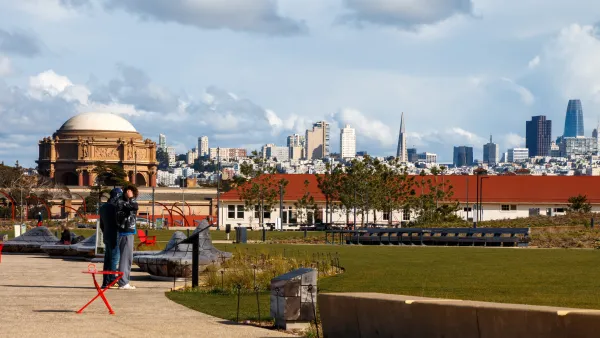
San Francisco’s Tunnel Tops Gets Family-Oriented Expansion
Unlike its flashier, selfie-friendly neighbor, the new Outpost Meadow is designed to provide comfortable space for locals.

San Francisco to Dismantle its Polarizing Brutalist Fountain
The Vaillancourt Fountain stands as a symbol of the tension between the city’s past and future.
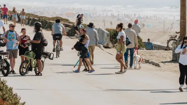
San Francisco Opens Park on Former Great Highway
The Sunset Dunes park’s grand opening attracted both fans and detractors.

Planetizen Federal Action Tracker
A weekly monitor of how Trump’s orders and actions are impacting planners and planning in America.

The state-sanctioned urbicide of Austin
People don’t kill cities. Freeways do.

US to reduce Colorado River water deliveries to Mexico
A new Colorado Treaty amendment reduces Mexico’s Colorado River water allocation by 250,000 acre feet.

5 New England states march closer to 800 megawatt wind energy project
Securing federal approval for the project may be complicated under the Trump administration, which has historically been hostile towards domestic wind power.

Baltimore to break ground on $50 million Transit Priority Project
The project will bring faster bus trips, safer streets and better bike connections to Baltimore.

Airbnb launches $250 million 'last-dollar financing' housing accelerator, makes first investment in Austin
The company will put $6.4 million towards affordable housing development in Texas’ capital.

FREE Course: Walkable City 1: Why Walkability?
After describing his path towards focusing on walkability as the essence of good planning, Jeff Speck marches through his five principal reasons for making more walkable places.
Reinventing Malls: Planning Alchemy—Turning Gray Fields Into Gold
The course focuses on the opportunities and imperatives that shape reinvention of mall sites.

Eagle County Government
Harvard University Graduate School of Design
Nashville Planning Department
The Architects Foundation
University of Cincinnati Online
The Pocatello Development Authority
The Urban Renewal Agency of the City of Pocatello
Journal of the American Planning Association