


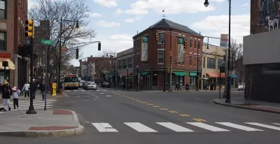
The city’s original plan to decrease car ownership isn’t quite panning out, even with more alternative transportation options for residents.
Cambridge, Massachusetts, set a goal in 2014 to lower the level of car ownership by residents. The target was a decrease of 15 percent from the 1990 level, to about 0.8 cars per household, by 2020. Adam Vaccaro reports that ownership has decreased, but by less than half of the original target.
While the ownership level is down, the number of cars owned by residents has increased by 6.5 percent since 2014 and the population has also grown. "Even though much of the construction in Cambridge and other cities is concentrated near train and bus lines, the figures highlight that more people almost always means more cars," says Vaccaro.
To decrease car ownership, the city focused on improving biking and transit infrastructure. Some city officials would also like to follow the lead of Minneapolis and San Francisco with a ban on minimum parking requirements for new developments.
The decrease in Cambridge is still a contrast to neighboring Boston where household car ownership has increased by 7 percent since 1990. But Boston officials argue that the focus should be on miles driven rather than ownership rates.
Based on that measure, the situation in Cambridge looks even better. "Cambridge already boasts the lowest average number of miles driven per household in Massachusetts: fewer than 19 miles a day in 2014, according to data from the regional council," notes Vaccaro.
FULL STORY: Cambridge wanted a big drop in car ownership by 2020. That hasn’t exactly happened


Boston's New Bus-Riding Mayor Could Make a Real Impact on Climate Change Goals
Recently elected Boston mayor Michelle Wu, a bus rider herself, has the potential to be 'America's first actual climate mayor.'
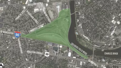
Imagining Alternatives to an Enlarged I-90 Viaduct in Boston
Massachusetts Department of Transportation plans to heighten and widen the Allston section of I-90 viaduct do not align with the community's desire for an environmentally friendly and pedestrian- and cycling-oriented new solution.
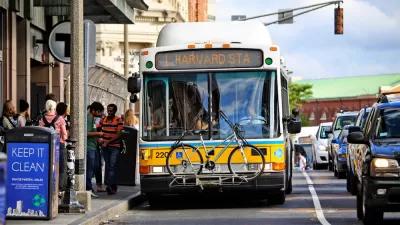
More Dedicated Busways Coming to Greater Boston
Cities in the Boston area are looking to center-running bus lanes as a next step in developing the region’s public transit infrastructure.

Planetizen Federal Action Tracker
A weekly monitor of how Trump’s orders and actions are impacting planners and planning in America.

Maui's Vacation Rental Debate Turns Ugly
Verbal attacks, misinformation campaigns and fistfights plague a high-stakes debate to convert thousands of vacation rentals into long-term housing.

Cuomo Is the Candidate of Both NIMBYs and Developers. What Gives?
In the New York City mayoral race, odd bedfellows align to preserve the housing status quo.

The Subversive Car-Free Guide to Trump's Great American Road Trip
Car-free ways to access Chicagoland’s best tourist attractions.

San Antonio and Austin are Fusing Into one Massive Megaregion
The region spanning the two central Texas cities is growing fast, posing challenges for local infrastructure and water supplies.

Charlottesville Temporarily Has No Zoning Code
A judge ordered the Virginia city to throw out its newly revised zoning code, leaving permitting for new development in legal limbo.
Urban Design for Planners 1: Software Tools
This six-course series explores essential urban design concepts using open source software and equips planners with the tools they need to participate fully in the urban design process.
Planning for Universal Design
Learn the tools for implementing Universal Design in planning regulations.
Heyer Gruel & Associates PA
JM Goldson LLC
Custer County Colorado
City of Camden Redevelopment Agency
City of Astoria
Transportation Research & Education Center (TREC) at Portland State University
Jefferson Parish Government
Camden Redevelopment Agency
City of Claremont