The Regional Plan Association released a new study that recommends steps toward higher density transit oriented development in transit adjacent communities around the New York region. The study also teases a big release coming later this month.


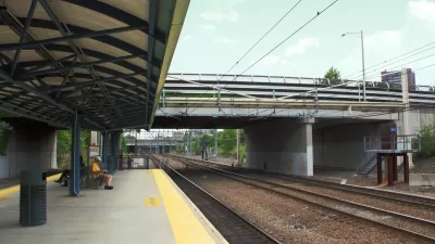
The Regional Plan Association (RPA) released a new study today that recommends developing areas near transit stations in the suburban communities in the New York region to help alleviate the region's challenges with affordable housing and congestion.
The "Untapped Potential" study offers a blueprint "for improving zoning regulations to allow for multi-family housing around regional rail stations, leveraging this existing infrastructure to develop units at a range of price points without causing more sprawl or strain on existing neighborhoods," according to a press release announcing the new study.
According to the press release, any growth strategy that would target new development near transit stations faces obstacles in the form of low-density zoning in many of the communities located around transit station in the region. "Over 60 percent of municipalities close to regional rail stations have zoning codes which greatly limit as-of-right multi-family housing, and over one-quarter only allow for low-density, single-family development that keeps communities exclusively wealthy and white," states the press release. The report includes several concrete recommendations for local municipalities and suburban communities to pursue.
The new study will inform the forthcoming release of the RPA's Fourth Regional Pan, which is scheduled for release on November 30, 2017.
Read the full story: RPA: Development Near Commuter Rail Stations in Suburban Areas Key to Regional Affordability

The Fourth Regional Plan Plots a Course for the New York Region
The Regional Plan Association released its eagerly anticipated Fourth Regional Plan on Thursday.
How Fictional Characters Can Give Real Perspective to Planners
Eric Jaffe reports on a simulation method used by the Regional Plan Association to bridge gaps in community engagement while developing the Fourth Regional Plan.
Design Competition Yields a New Look for the Proposed Triboro Transit Line
The design proposal for the Triboro Corridor is speculative, but meant to inspire the conversation on one of the "4c" ideas at the heart of the Regional Plan Association's Fourth Regional Plan.

Planetizen Federal Action Tracker
A weekly monitor of how Trump’s orders and actions are impacting planners and planning in America.

Eastern Nebraska is running out of electricity
Data centers and electrification are straining eastern Nebraska’s grid, throttling economic development.
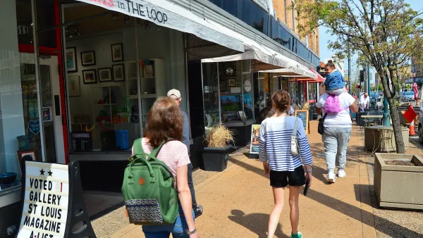
Move over, LA: St. Louis gears up for Olympics, invests millions in downtown redevelopment
The Missouri city will host the 2028 Olympic soccer group stage and knockout matches.

Dallas releases zoning code overhaul to officials
The drafted overhaul is over 400 pages long.

NYC renovations for dangerous, ‘mercilessly crammed’ street delayed until 2027
Construction was supposed to begin this fall.

San Diego’s Midway Rising project gets greenlight from city council
The project looks to become the largest affordable housing development in California's history.

FREE Course: Walkable City 1: Why Walkability?
After describing his path towards focusing on walkability as the essence of good planning, Jeff Speck marches through his five principal reasons for making more walkable places.
Reinventing Malls: Planning Alchemy—Turning Gray Fields Into Gold
The course focuses on the opportunities and imperatives that shape reinvention of mall sites.

City of Rosemead
Rutgers University, Edward J. Bloustein School of Planning and Public Policy
One Hundred Miles
University of Michigan School for Environment and Sustainability (SEAS)
Hunter College, City University of New York (CUNY)
The Architects Foundation
City of Cambridge
The Pocatello Development Authority
The Urban Renewal Agency of the City of Pocatello