The Pacific Northwest's competing and sometimes conflicting stakeholders have created a master plan for the use—and also the preservation—of marine resources.


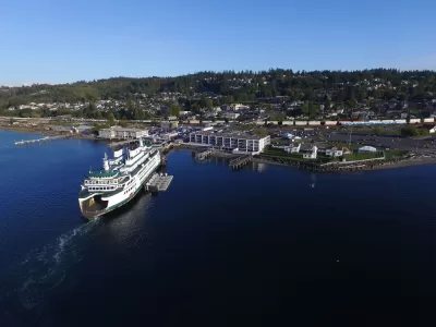
On October 12, the Department of Ecology in Washington State released a document it has named the Draft Marine Spatial Plan for Washington’s Pacific Coast.
That somewhat uninventive title is a disservice to what Washington has actually done—created a collaborative master plan using the increasingly popular process called Marine Spatial Planning.
Marine Spatial Planning (MSP) aims, more or less, to take the basic tenets of modern land-use planning—engaging many stakeholders, considering commercial, social and environmental trade-offs—and establishing comprehensive plans for marine areas.
Massachusetts and Rhode Island have employed MSP for ocean-resource master plans, and the process is underway in San Diego; Marine Spatial Planning is also in use for various projects around the nation and the world, particularly in places most affected by climate change. In Washington, observers hope the process can dampen longstanding conflicts between interests, and provide "a framework to guide decisions about new development on the outer coast."
The Draft Marine Spatial Plan for Washington's Pacific Coast is now open to public comment.
Read the full story: HOW WILL WASHINGTON’S COAST DEVELOP?


Op-Ed: Why NYC Needs a Comprehensive Plan
The city’s congestion pricing program could change transportation and land use in radical ways. A comprehensive plan would make the most of those changes.
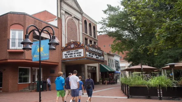
Controversial Comprehensive Plan Update Moves Forward in Charlottesville
Residents have had a chance to oppose the new residential density proposed by the "Charlottesville Plans Together" comprehensive planning process.
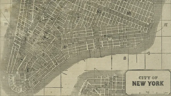
New York City Aims for Comprehensive Long-Range Planning
The city's proposed comprehensive planning bill could create a more equitable and collaborative planning process

Planetizen Federal Action Tracker
A weekly monitor of how Trump’s orders and actions are impacting planners and planning in America.

The state-sanctioned urbicide of Austin
People don’t kill cities. Freeways do.

US to reduce Colorado River water deliveries to Mexico
A new Colorado Treaty amendment reduces Mexico’s Colorado River water allocation by 250,000 acre feet.

Nation's most wind-powered state turns to coal as data centers increase energy demand
For the first time in decades, Iowa has increased its generation of coal power.

NYC cools commuters with city's first rain garden above a bus stop
New York City officials say the plants in the rain garden can absorb 16 gallons of rainwater during heavy storms.

Brightline West’s future may rely on $6 billion federal loan
The company has until Nov. 2 to make a $400 million equity investment into its proposed high-speed rail line.

FREE Course: Walkable City 1: Why Walkability?
After describing his path towards focusing on walkability as the essence of good planning, Jeff Speck marches through his five principal reasons for making more walkable places.
Reinventing Malls: Planning Alchemy—Turning Gray Fields Into Gold
The course focuses on the opportunities and imperatives that shape reinvention of mall sites.

Greater Baltimore Committee
Eagle County Government
Harvard University Graduate School of Design
The Architects Foundation
University of Cincinnati Online
The Pocatello Development Authority
The Urban Renewal Agency of the City of Pocatello
Journal of the American Planning Association