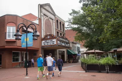
Residents have had a chance to oppose the new residential density proposed by the "Charlottesville Plans Together" comprehensive planning process.

Katherine Knott updates the process of updating the Comprehensive Plan in Charlottesville, Virginia, which recently wrapped up a round of public comment and headed back to the city's Planning Commission for a work session.
Under discussion is an update to the city's future land use map and other chapters of the city's Comprehensive Plan. The entire process has been branded as "Charlottesville Plans Together." Planning consultant Rhodeside and Harwell is working with the city to complete the process.
According to Knott, the recently completed public comment was contentious, with 1,800 comments from the public, most of which focused on the future land use map. The map calls for more residential density and mixed-use developments throughout the city. "Neighborhoods around the University of Virginia and along West Main Street and Fifth Street would see large developments up to five stories, according to the map."
" The increases in density prompted a raft of concerns from community members who were worried about traffic and infrastructure to support the city’s growth, how larger buildings would affect a neighborhood’s character and the overall effect on property values, according to the presentation," reports Knott. Soundbites from either side of the debate are included in the source article.
Whatever version of the future land use map is finally approved, Knott explains that the city will still have to implement the plan with changes made to the city's Zoning Ordinance.
FULL STORY: City Planning Commission reviews future land use map feedback

Maui's Vacation Rental Debate Turns Ugly
Verbal attacks, misinformation campaigns and fistfights plague a high-stakes debate to convert thousands of vacation rentals into long-term housing.

Planetizen Federal Action Tracker
A weekly monitor of how Trump’s orders and actions are impacting planners and planning in America.

In Urban Planning, AI Prompting Could be the New Design Thinking
Creativity has long been key to great urban design. What if we see AI as our new creative partner?

King County Supportive Housing Program Offers Hope for Unhoused Residents
The county is taking a ‘Housing First’ approach that prioritizes getting people into housing, then offering wraparound supportive services.

Researchers Use AI to Get Clearer Picture of US Housing
Analysts are using artificial intelligence to supercharge their research by allowing them to comb through data faster. Though these AI tools can be error prone, they save time and housing researchers are optimistic about the future.

Making Shared Micromobility More Inclusive
Cities and shared mobility system operators can do more to include people with disabilities in planning and operations, per a new report.
Urban Design for Planners 1: Software Tools
This six-course series explores essential urban design concepts using open source software and equips planners with the tools they need to participate fully in the urban design process.
Planning for Universal Design
Learn the tools for implementing Universal Design in planning regulations.
planning NEXT
Appalachian Highlands Housing Partners
Mpact (founded as Rail~Volution)
City of Camden Redevelopment Agency
City of Astoria
City of Portland
City of Laramie


