A car spends 95 percent of the time parked, and only 5 percent of its time in use. The huge amount of space that system requires is made "intuitively and accessibly" comparable by the What the Street project.


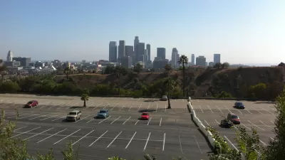
Adele Peters reports on a "new visualization shows the footprint of each [parking] lot, arranged in a puzzle-like design next to every other parking lot in greater Los Angeles, to make a point about how cities use space."
"The visualization is part of a project called What the Street? that inventories parking lots in 23 cities around the world, along with the space used for roads, rail lines and rail yards, and bike paths and bike parking," adds Peters. "The code for the project is open source so it can be applied to other cities."
Peters also notes that a shift to "on-demand autonomous cars" could eventually open up some of this space for other uses.
Read the full story: See How Much Of A City's Land Is Used Just For Parking Spaces

How Parking Apps Could Shift the Parking Landscape
New apps have the potential to influence a fundamental shift in the political and physical realities of parking according to a recent Next City article.
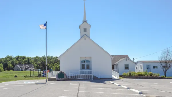
Three Ways to Activate Church Parking Lots Seven Days a Week
Churches need parking, but most of their lots are wasted space six days a week.
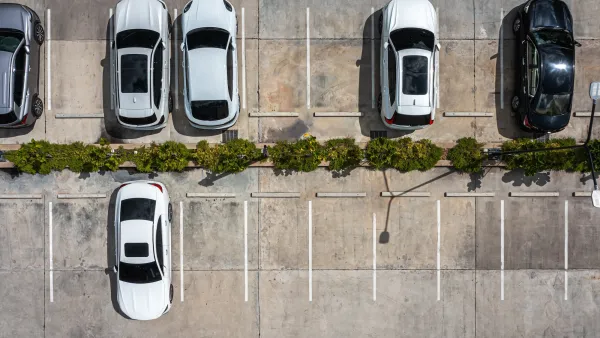
Who Wants to Play SimParkingLot?
The original urban planning game wanted to model real life cities. One grim reality of American urbanism held it back.

Planetizen Federal Action Tracker
A weekly monitor of how Trump’s orders and actions are impacting planners and planning in America.

The state-sanctioned urbicide of Austin
People don’t kill cities. Freeways do.

US to reduce Colorado River water deliveries to Mexico
A new Colorado Treaty amendment reduces Mexico’s Colorado River water allocation by 250,000 acre feet.

Nation's most wind-powered state turns to coal as data centers increase energy demand
For the first time in decades, Iowa has increased its generation of coal power.

NYC cools commuters with city's first rain garden above a bus stop
New York City officials say the plants in the rain garden can absorb 16 gallons of rainwater during heavy storms.

Brightline West’s future may rely on $6 billion federal loan
The company has until Nov. 2 to make a $400 million equity investment into its proposed high-speed rail line.

FREE Course: Walkable City 1: Why Walkability?
After describing his path towards focusing on walkability as the essence of good planning, Jeff Speck marches through his five principal reasons for making more walkable places.
Reinventing Malls: Planning Alchemy—Turning Gray Fields Into Gold
The course focuses on the opportunities and imperatives that shape reinvention of mall sites.

Eagle County Government
Harvard University Graduate School of Design
Nashville Planning Department
The Architects Foundation
University of Cincinnati Online
The Pocatello Development Authority
The Urban Renewal Agency of the City of Pocatello
Journal of the American Planning Association