In some American cities, the white population is growing while the black population is declining. Is this a result of gentrification or of black upward mobility?



In a recent blog post, one of my favorite urban affairs bloggers, Pete Saunders, writes in that eight of the 20 largest American urbanized areas (Los Angeles,Chicago, Detroit, San Francisco, Seattle,Tampa, Baltimore, St. Louis), the central city's white population grew while the central city's black population declined. And in all but two of these (Los Angeles and San Francisco) the black population grew in suburbia.
It seems to me that there are two possible interpretations of this data:
*The "Gentrification/Displacement Story." According to this story, because blacks tend to be poorer than whites, they tend to be priced out of central cities, and are being forced into cheaper suburbs.
*The "Upward Mobility Story." According to this story (which Saunders seems to prefer), black suburbanization is evidence of affluence rather than poverty. As middle-class blacks are gaining wealth, they are leaving decaying urban neighborhoods for the relative safety of suburbia.
So how can we figure out which story is closer to reality?
It seems to me that if the first story is true, the blacks leaving cities would tend to be the poorest, while better-off blacks get to stay. Thus, central city poverty rates would have declined in recent years. By contrast, if the second story is true, we would see higher rates of black poverty in the central cities, as better-off blacks moved to suburbia.
In all six cities* where black suburbanization was most pronounced (that is, where black urban population declined, white urban population did not, and black suburban population grew) black poverty grew between 2012 and 2015. Sometimes, the rise was not statistically significant – for example, in Baltimore, the black urban poverty rate rose from 27.2% to 28.1%.** Similarly, in St. Louis the black poverty rate grew from 37.7% to 38.1%. On the other hand, in Seattle, the black poverty rate grew from 28.5% to 33.6%, the largest increase among these six cities. By contrast, white poverty rates were stable in all six cities—in all but Detroit, the poverty rate grew or declined by less than 1 point. (In Detroit it rose from 37.3% to 39.6%.) In all of these cities, poverty rates for both racial groups were lower in 1999, reflecting (I suspect) the Great Recession.
So to the extent the evidence tells any story at all, it suggests that blacks moving to the suburbs were middle-class (or at least nonpoor)—which in turn suggests that black migration in these places might be a result of upward mobility rather than gentrification-related displacement.
*That is, the eight cities mentioned at the start of this post, minus Los Angeles and San Francisco.
*The data supporting this discussion is here.

The Gentrification of (Tiny Bits) of Gotham
Reports of New York's gentrification are sometimes exaggerated.
Op-Ed: Stop the Hipster Hate
Un-American to some, symbol of oblivious privilege to others, the urban hipster is a polarizing character. But the stereotype also lays blanket criticism on those simply trying to make people-scaled cities work.

How ‘post-disaster gentrification’ alters neighborhoods after natural calamities
After hurricanes, fires or other calamities, the original residents of a community are often replaced by younger, wealthier residents.

Planetizen Federal Action Tracker
A weekly monitor of how Trump’s orders and actions are impacting planners and planning in America.
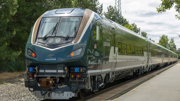
Northwest rail fans eager for Sept. 30 debut of Amtrak’s Airo fleet
Get ready for that new train smell and more seats. But they won’t go faster or run more frequently on the Cascades route in Washington and Oregon.

Trump is considering data centers on 6 states' public land — some state officials say they had no idea
If the administration approves the proposed projects, data center and data center-related developments will cover 17,600 acres of public land.

After decades of planning, Sacramento gains new light rail station
Trains will arrive every 15 minutes during peak hours and every 30 minutes during non-peak hours.

Massive tunnel-boring machine breaks ground on Gateway Project
The Trump administration revoked funding for the project in October 2025, and then restored it earlier this year.

Airo trainsets begin service on Amtrak Cascades route
The trains feature panoramic windows, complementary wifi and over 300 seats per train set.

FREE Course: Walkable City 1: Why Walkability?
After describing his path towards focusing on walkability as the essence of good planning, Jeff Speck marches through his five principal reasons for making more walkable places.
Reinventing Malls: Planning Alchemy—Turning Gray Fields Into Gold
The course focuses on the opportunities and imperatives that shape reinvention of mall sites.

City of Thousand Oaks
City of Wisconsin Rapids
Harvard University Graduate School of Design
The Architects Foundation
University of Cincinnati Online
Northern Illinois Transit Authority (NITA)
The Pocatello Development Authority
The Urban Renewal Agency of the City of Pocatello

