Thom Mayne proposes a radical solution to Los Angeles' affordability/preservation problem: build up transit-friendly areas far beyond current densities, and leave the rest unchanged.


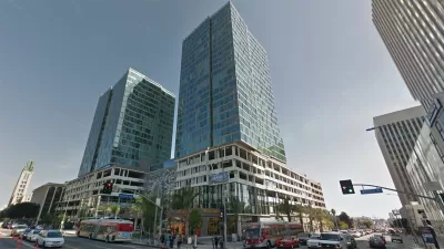
Long touted as a city of reinvention, Los Angeles faces some serious challenges putting that reputation to the test. Architect Thom Mayne asks, "How can we absorb an additional 1.5 million people while accounting for the impacts of climate change, advancing environmental sustainability (100% local water, 100% renewable energy, and enhanced ecosystem and human health) and urban affordability without completely destroying the character that Angelenos love about their city?"
His answer? "By adding 1 million more people along the Wilshire Boulevard corridor (which already has a half million people, for a total 1.5 million) and another half million in other transit-oriented areas." Meanwhile, anti-development Angelenos could continue their low-rise lifestyle everywhere else.
In the near-term at least, this project sounds politically unfeasible. But Mayne is thinking big: "In fact, using Hong Kong's residential building types, [the Wilshire corridor] could accommodate another 8 million people. In our relatively conservative model, the density of the Wilshire corridor would be less than that of Manhattan."
This vision is a tale of two cities: transit-oriented high-rise LA and auto-friendly suburban LA. In a more modest fashion, the city may already be heading in that direction. Mayne's plan fully embraces that future. From the article: "The strategy also diminishes water demand from single-family lawns, reduces vehicular emissions associated with sprawl, and protects an area 10 times its size —150,000 acres — that would have to be developed to meet housing demand at L.A.'s current densities. By building upward instead of outward, the corridor could easily create 70% more public open space for stormwater capture, habitat, and heat diffusion."
Read the full story: Adding 1 million people along the Wilshire corridor could help L.A. create a sustainable city
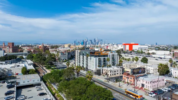
LA delays state housing mandate with 'low-rise ordinance'
The new ordinance allows the city to delay implementing SB 79, a state law requiring more density near transit.
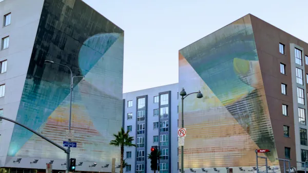
LA Metro Opposes TOD Law, Fearing Backlash to Transit Expansion
Metro wants an exemption from California’s new housing law, despite the law’s potential to increase ridership by putting more housing near transit stations.

California TOD Law Gives NIMBYs a new Weapon Against Bus Lanes
A new law that allows rezoning for higher density near transit lines is fueling opposition to a Burbank bus rapid transit line.
Planetizen Federal Action Tracker
A weekly monitor of how Trump’s orders and actions are impacting planners and planning in America.
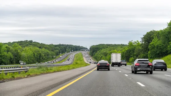
Washington state to charge fee to drivers with fuel-efficient cars
Revenue from the fee will go towards supporting the state’s highways.
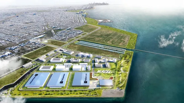
Illinois considers spending $1 billion in taxpayer money on data center
A quantum computing campus and data center are currently under construction in Chicago.

Senate passes bill overhauling permitting
The bill still needs to pass the House.

Did data centers change how voters cast their ballots?
Texas, Ohio, and Georgia all flipped party control. But in rural counties, the effect of local data centers was mixed.

Amtrak invests in eight new Airo trainsets
The new trainsets will begin serving passengers in 2031.

FREE Course: Walkable City 1: Why Walkability?
After describing his path towards focusing on walkability as the essence of good planning, Jeff Speck marches through his five principal reasons for making more walkable places.
Reinventing Malls: Planning Alchemy—Turning Gray Fields Into Gold
The course focuses on the opportunities and imperatives that shape reinvention of mall sites.

City of Charlotte
City of Rosemead
Rutgers University, Edward J. Bloustein School of Planning and Public Policy
University of Michigan School for Environment and Sustainability (SEAS)
Hunter College, City University of New York (CUNY)
The Architects Foundation
University District Partnership