


The precise location of municipal boundaries is becoming more important as developers look to build on infill sites.
"The precise location of municipal boundaries was not a matter of concern when the land in question was used for railroads or other industrial purposes. But the parcels today are prized real estate, as developers look to build on so-called ''infill'' sites close to Boston, rather than out in the suburbs or the countryside.... Now planners need to know in which city every town house, store, or office building is officially located. And officials in the three cities are well aware of the money that is at stake."
Thanks to Anthony Flint
FULL STORY: Cities try to draw line on border quandaries


Planetizen Federal Action Tracker
A weekly monitor of how Trump’s orders and actions are impacting planners and planning in America.

Vehicle-related Deaths Drop 29% in Richmond, VA
The seventh year of the city's Vision Zero strategy also cut the number of people killed in alcohol-related crashes by half.
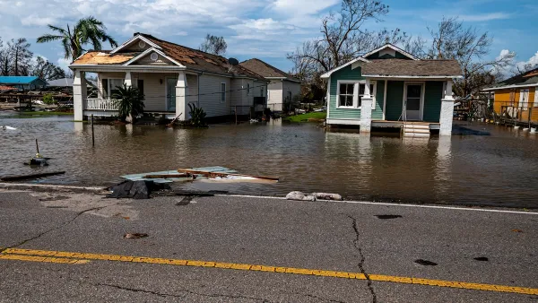
As Trump Phases Out FEMA, Is It Time to Flee the Floodplains?
With less federal funding available for disaster relief efforts, the need to relocate at-risk communities is more urgent than ever.

LA Transit Ridership Plummets Amidst ICE Raids
LA Metro’s bus and rail lines are seeing up to 15 percent lower ridership in the wake of violent immigration arrests.

A New Texas Neighborhood is Powered by Geothermal Energy
The 7,500-home development claims to be Austin’s ‘first zero energy planned community.’

Data: In Rural America, Mobile Homes are Heat Traps
Extreme heat is often viewed as an urban problem, but rural communities face their own unique risks.
Urban Design for Planners 1: Software Tools
This six-course series explores essential urban design concepts using open source software and equips planners with the tools they need to participate fully in the urban design process.
Planning for Universal Design
Learn the tools for implementing Universal Design in planning regulations.
Heyer Gruel & Associates PA
JM Goldson LLC
Custer County Colorado
City of Camden Redevelopment Agency
City of Astoria
Transportation Research & Education Center (TREC) at Portland State University
Camden Redevelopment Agency
City of Claremont
Municipality of Princeton (NJ)