


Where's the green?
"If you looked at Google Maps this week, you might have noticed something strange: less green," reports Erin Ross.
"Typically, mint green highlights designate publicly owned wild spaces on Google's maps. But as of this writing, some of those public lands have gone gray," according to Ross. "Many of the missing parks are national forests, but some are state forests, Bureau of Land Management recreation areas, wildlife refuges and wilderness areas." Spaces of all shapes, sizes, and geographic location have disappeared.
For those willing to boycott Google Maps for this travesty, Ross notes that Apple Maps is also experiencing inaccuracies.
FULL STORY: Where Did National Forests Go? Green Spaces Disappear From Google Maps


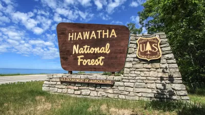
National Forests Were Highly Popular in 2020
New data shows more people than ever visited national forests and grasslands last year, according to a Forest Service report

Map: Where Senate Republicans Want to Sell Your Public Lands
For public land advocates, the Senate Republicans’ proposal to sell millions of acres of public land in the West is “the biggest fight of their careers.”
Carbon Capture Plan Draws Conservationist Concerns
The Forest Service says storing carbon dioxide under national forest lands is essential to reducing greenhouse gas emissions and meeting climate goals.

Maui's Vacation Rental Debate Turns Ugly
Verbal attacks, misinformation campaigns and fistfights plague a high-stakes debate to convert thousands of vacation rentals into long-term housing.

Planetizen Federal Action Tracker
A weekly monitor of how Trump’s orders and actions are impacting planners and planning in America.

In Urban Planning, AI Prompting Could be the New Design Thinking
Creativity has long been key to great urban design. What if we see AI as our new creative partner?

Cal Fire Chatbot Fails to Answer Basic Questions
An AI chatbot designed to provide information about wildfires can’t answer questions about evacuation orders, among other problems.

What Happens if Trump Kills Section 8?
The Trump admin aims to slash federal rental aid by nearly half and shift distribution to states. Experts warn this could spike homelessness and destabilize communities nationwide.

Sean Duffy Targets Rainbow Crosswalks in Road Safety Efforts
Despite evidence that colorful crosswalks actually improve intersection safety — and the lack of almost any crosswalks at all on the nation’s most dangerous arterial roads — U.S. Transportation Secretary Duffy is calling on states to remove them.
Urban Design for Planners 1: Software Tools
This six-course series explores essential urban design concepts using open source software and equips planners with the tools they need to participate fully in the urban design process.
Planning for Universal Design
Learn the tools for implementing Universal Design in planning regulations.
Appalachian Highlands Housing Partners
Gallatin County Department of Planning & Community Development
Heyer Gruel & Associates PA
Mpact (founded as Rail~Volution)
City of Camden Redevelopment Agency
City of Astoria
City of Portland
City of Laramie