


Confronting a problem that affects roughly 75 percent of the world's population, a new system will give every place on Earth an address based on three words.
A new addressing system from a British company may have finally found a solution to a problem that affects close to 4 billion people around the world—the lack of a locatable home address. In many parts of the world, including developing nations like Mongolia, streets are often unnamed. Joon Ian Wong of Quartz reports that the start-up What3Words has taken on this problem by assigning a three word address that corresponds to a nine-square-meter location on the globe.
In What3Words’ system, the idea is that a series of words is easier to remember than the strings of number that make up GPS coordinates. Each unique phrase corresponds to a specific 9-square-meter spot on the map.
For example, the White House, at 1600 Pennsylvania Avenue, becomes sulk.held.raves; the Tokyo Tower is located at fans.helpless.collects; and the Stade de France is at reporter.smoked.received.
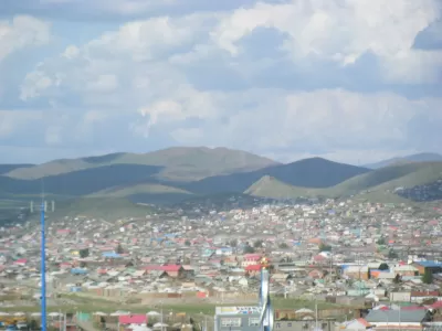
Wong reports that the What3Words system is being rolled out in the Mongolian capital of Ulaanbaatar, where many of the city's streets have no name. Previously, residents were required to travel to a designated mail stop or mailed items had to include detailed delivery instructions in order to get to the right location. The Mongolian postal system will convert the three words, using software licensed from What3Words, into GPS coordinates that will take deliveries to a small, specific location. Wong notes that the What3Words system is already being used by the United Nations, courier companies and others.
FULL STORY: Mongolia is changing all its addresses to three-word phrases


Planetizen Federal Action Tracker
A weekly monitor of how Trump’s orders and actions are impacting planners and planning in America.

Chicago’s Ghost Rails
Just beneath the surface of the modern city lie the remnants of its expansive early 20th-century streetcar system.

San Antonio and Austin are Fusing Into one Massive Megaregion
The region spanning the two central Texas cities is growing fast, posing challenges for local infrastructure and water supplies.

Since Zion's Shuttles Went Electric “The Smog is Gone”
Visitors to Zion National Park can enjoy the canyon via the nation’s first fully electric park shuttle system.

Trump Distributing DOT Safety Funds at 1/10 Rate of Biden
Funds for Safe Streets and other transportation safety and equity programs are being held up by administrative reviews and conflicts with the Trump administration’s priorities.

German Cities Subsidize Taxis for Women Amid Wave of Violence
Free or low-cost taxi rides can help women navigate cities more safely, but critics say the programs don't address the root causes of violence against women.
Urban Design for Planners 1: Software Tools
This six-course series explores essential urban design concepts using open source software and equips planners with the tools they need to participate fully in the urban design process.
Planning for Universal Design
Learn the tools for implementing Universal Design in planning regulations.
planning NEXT
Appalachian Highlands Housing Partners
Mpact (founded as Rail~Volution)
City of Camden Redevelopment Agency
City of Astoria
City of Portland
City of Laramie