Concepts like erasure, greenfield development, and easements figure into this story about a rural community on the fringes of suburban development in Maryland's Montgomery County.



"The 'Farm Road' case in Maryland’s Montgomery County is a troubling example of rural gentrification and historical erasure," according to an article by David Rotenstein.
The process of rural gentrification described is the result of a widening "gap in the low value of the property as agricultural versus a potential greater value if it were to be developed," according to Rotenstein. The "rent gap" in rural communities means that working-class residents are at risk of displacement—just as they would be under similar circumstances in urban areas.
After introducing the concept of rural gentrification, as described above, Rotenstein goes on to examine the example of a community formed around the "Farm Road" in Montgomery County—a "historically African American community created by freed slaves who bought land and cultivated farms near Sandy Spring, about 30 miles north of the U.S. Capitol."
The Farm Road at the center of the controversy was a vernacular place name for a route that emerged "over more than a century of agricultural use," but not as a dedicated public right-of-way. In other words, Farm Road didn't exist, which precipitated decisions by the Montgomery County Planning Department to claim that addresses along the road also didn't exist. That lowered property values for homes along the road and led to disputes between local residents and the planning department, as well as local residents and the residents of nearby developments.
Rotenstein provides more details about the legal fallout from the controversy, which most recently included a ruling by the Maryland Court of Appeals that went against the residents of Farm Road. An article from 2008 by Margie Hyslop provides more details about the controversy as it unfolded.
Read the full story: Farm Road: Rural gentrification and the erasure of history

On Foot: Planners Complete Street Safety Inventory One Step at a Time
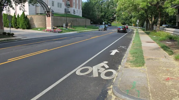
Before drafting a new Pedestrian Master Plan for Montgomery County, planners are creating a detailed inventory of street conditions by walking every single one fo the county's roads and streets.

First for Montgomery County: A Pedestrian Master Plan
Planners in Montgomery County, Maryland, one of the most famous suburban regions in the country, will produce the first-ever pedestrian master plan for the county.
Montgomery County Planners Target 4,2000 New Housing Units
The Montgomery County Planning Department is making the case for more housing to meet the growing number of jobs in the county.

Planetizen Federal Action Tracker
A weekly monitor of how Trump’s orders and actions are impacting planners and planning in America.

Amtrak, CN end decades-long dispute with eight-year agreement
The new operating agreement establishes an updated framework for the companies to work together, including processes to resolve disputes.

Judges permit Denver to divert 77,000 acre feet from the Colorado River for reservoir expansion
Overuse and climate change have caused the Colorado River’s water levels to plummet.
NYC DOT wants faster, more permanent street upgrades
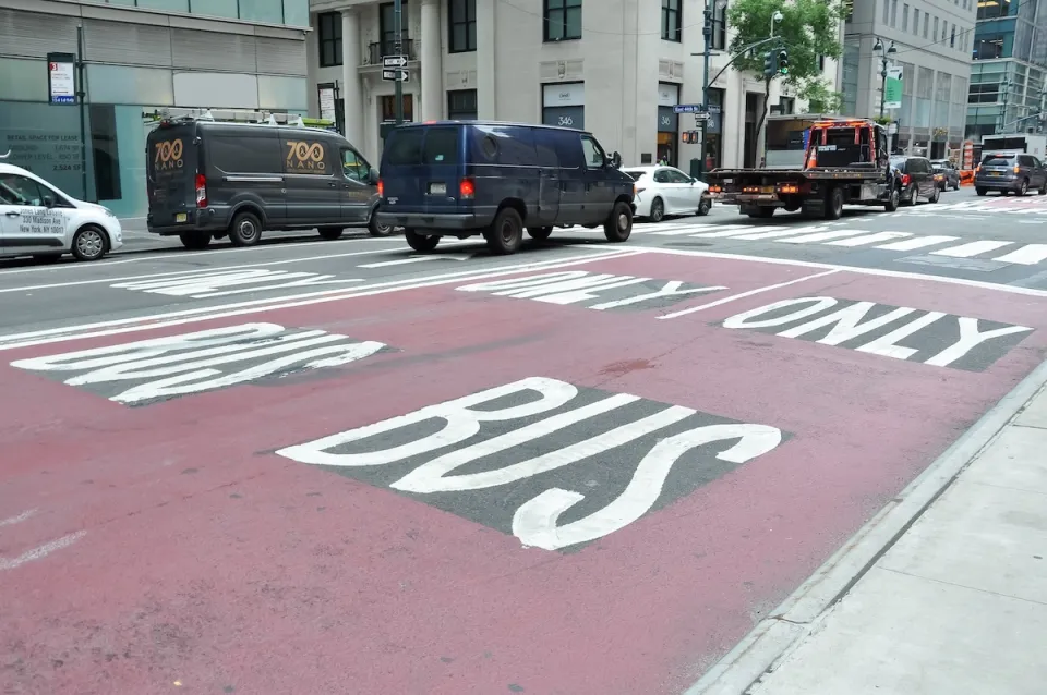
The city is examining ways to build more concrete infrastructure without getting entangled in 'decades-long' projects.

'Something we’ve never seen before:' rising utility rates could strain city finances nationwide
Data centers, climate change and other factors have caused utility rates in the United States to increase by 38% since 2020.

Trump to overrule local leaders, lease millions of acres of America’s Pacific Island territories’ seafloors to mining companies
International law says that the Indigenous people of America’s territories have a right to prior and informed consent regarding projects that impact their countries.

FREE Course: Walkable City 1: Why Walkability?
After describing his path towards focusing on walkability as the essence of good planning, Jeff Speck marches through his five principal reasons for making more walkable places.
Reinventing Malls: Planning Alchemy—Turning Gray Fields Into Gold
The course focuses on the opportunities and imperatives that shape reinvention of mall sites.

Harvard University Graduate School of Design
KFH Group Inc.
Greater Baltimore Committee
The Architects Foundation
University of Cincinnati Online
The Pocatello Development Authority
The Urban Renewal Agency of the City of Pocatello