


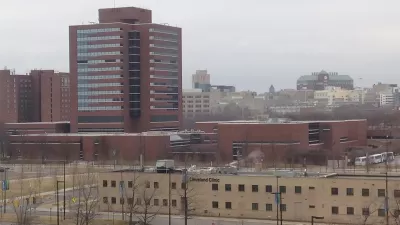
Hospitals, medical research centers, and the like are supposed to represent health, but are often an unappealing and monolithic presence in the urban landscape. How can the form of health centers fall in line with their function?
There's been controversy about the responsibilities of hospitals and medical centers to their communities. But what about their physical form and how it impacts neighbors and patients alike?
Jennifer S. Vey says we need more discussion about "how the physical character of urban health centers, and the relationship they in turn have with their surrounding neighborhoods, could be more supportive of expanded and evolving ideas for what it takes to build a healthier society."
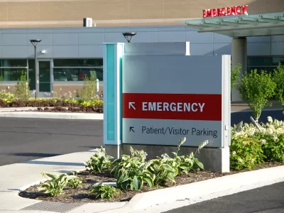
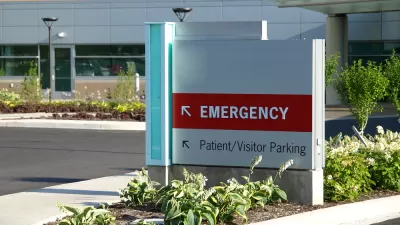
As things stand, most medical buildings aren't models of urban connectivity. Instead they embody a "starkly similar, and fairly depressing, spatial form: large-scale, inwardly focused buildings, ample parking, and scarcely any people in site."
Vey writes that hospital and research campuses are usually self-contained, blocking out community interaction, isolating patients and staff, even preventing medical progress by segregating doctors according to specialty and role.
A greener (as in literal plants) and more connected medical campus could address these failings by building on the study of healthy cities. Vey gives some promising examples of such medical "innovation hubs" and ends with a figure: $97.1 billion. That's the value of all large healthcare buildings planned or under construction in the United States at the end of 2015.
FULL STORY: Urban health centers: tear down this wall

How Urban Investment Patterns Fuel Healthcare Inequities
Inequities in healthcare are linked to inequities in urban planning, a public health researcher argues.
The States Losing Rural Delivery Rooms at an Alarming Pace
In some states, as few as 9% of rural hospitals still deliver babies. As a result, rising pre-term births, no adequate pre-term care and "harrowing" close calls are a growing reality.
Healthcare Providers Get in the Housing Business
Some hospitals and healthcare providers are partnering with affordable housing developers to connect housing to health services and create more affordable housing for hospital workers.

Maui's Vacation Rental Debate Turns Ugly
Verbal attacks, misinformation campaigns and fistfights plague a high-stakes debate to convert thousands of vacation rentals into long-term housing.

Planetizen Federal Action Tracker
A weekly monitor of how Trump’s orders and actions are impacting planners and planning in America.

In Urban Planning, AI Prompting Could be the New Design Thinking
Creativity has long been key to great urban design. What if we see AI as our new creative partner?

Portland Raises Parking Fees to Pay for Street Maintenance
The city is struggling to bridge a massive budget gap at the Bureau of Transportation, which largely depleted its reserves during the Civd-19 pandemic.

Spokane Mayor Introduces Housing Reforms Package
Mayor Lisa Brown’s proposals include deferring or waiving some development fees to encourage more affordable housing development.

Houston Mayor Kills Another Bike Lane
The mayor rejected a proposed bike lane in the Montrose district in keeping with his pledge to maintain car lanes.
Urban Design for Planners 1: Software Tools
This six-course series explores essential urban design concepts using open source software and equips planners with the tools they need to participate fully in the urban design process.
Planning for Universal Design
Learn the tools for implementing Universal Design in planning regulations.
Gallatin County Department of Planning & Community Development
Heyer Gruel & Associates PA
JM Goldson LLC
City of Camden Redevelopment Agency
City of Astoria
Transportation Research & Education Center (TREC) at Portland State University
Jefferson Parish Government
Camden Redevelopment Agency
City of Claremont