


The high cost of free parking is almost, but not quite, common knowledge. Many, but not all, people realize the pernicious effects of parking requirements. A map can help illustrate this spreading awareness.
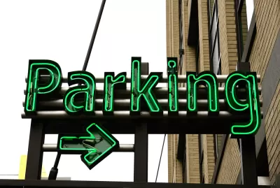
Strong Towns has begun a crowdsourced effort to map the communities around the country taking steps to curtail the proliferation of parking, as mandated by zoning codes and other land use regulations. According to the post, "Successful removals of these harmful laws give us hope that the movement is growing."
The map groups cities leading the fight against parking requirements in three categories:
- Green pins = parking minimums completely eliminated in at least one area of the city.
- Blue pins = parking minimums lowered or removed for certain uses.
- Orange pins = currently discussing their parking minimum laws.
The team at Strong Towns also invites people to fill out a form to add more points to the map if they've missed any place so far.
FULL STORY: A MAP OF CITIES THAT GOT RID OF PARKING MINIMUMS


Denver Could Eliminate Parking Requirements
The city could remove parking mandates citywide to reduce the cost of housing construction and ease permitting for new projects.

Parking Reform Yields New Housing
As more cities eliminate or reduce their minimum parking requirements, the impact on housing supply is coming into focus.

Dallas Considers Nixing Parking Requirements
According to one local official, Dallas projects routinely build 20 to 30 percent more parking than they need, driving up the cost of housing and leading to unsustainable land use patterns.

Montreal Mall to Become 6,000 Housing Units
Place Versailles will be transformed into a mixed-use complex over the next 25 years.

Planetizen Federal Action Tracker
A weekly monitor of how Trump’s orders and actions are impacting planners and planning in America.

DARTSpace Platform Streamlines Dallas TOD Application Process
The Dallas transit agency hopes a shorter permitting timeline will boost transit-oriented development around rail stations.

Study: 4% of Truckers Lack a Valid Commercial License
Over 56% of inspected trucks had other violations.

Chicago Judge Orders Thousands of Accessible Ped Signals
Only 3% of the city's crossing signals are currently accessible to blind pedestrians.

Philadelphia Swaps Car Lanes for Bikeways in Unanimous Vote
The project will transform one of the handful of streets responsible for 80% of the city’s major crashes.
Urban Design for Planners 1: Software Tools
This six-course series explores essential urban design concepts using open source software and equips planners with the tools they need to participate fully in the urban design process.
Planning for Universal Design
Learn the tools for implementing Universal Design in planning regulations.
City of Mt Shasta
City of Camden Redevelopment Agency
City of Astoria
Transportation Research & Education Center (TREC) at Portland State University
US High Speed Rail Association
City of Camden Redevelopment Agency
Municipality of Princeton (NJ)