Designed by researchers at the University of Chicago, the Plenario platform gathers all available open data for a specific area. Then it presents the data in an easy-to-use format.


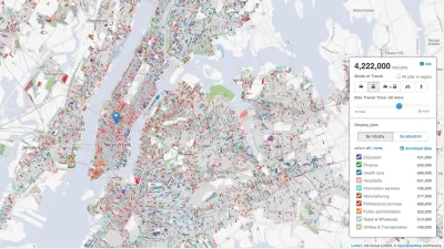
The push for open data publication means very little if researchers can't actually use the data in accessible and meaningful ways. Useful insights often require putting local data into context with information from different places or different times. But in their raw form, datasets are often too specific to easily serve that purpose.
Plenario, a data platform currently in its alpha stage, intends to solve that problem for urban researchers. "With one query, users can access, combine, download and visualize disparate sets of data all in the same place [...] Plenario utilizes Amazon Web Services, a cloud-computing platform, as its scalable back-end infrastructure, which means that storage and computing power for more data sets is not a concern."
University of Chicago's Urban Center for Computation and Design (UrbanCCD) created and launched Plenario late last year. Users specify the neighborhoods or areas they wish to study by drawing a polygon on a map. The platform then delivers a summary of all the datasets available for that area, with links to the sets themselves.
Plenario is open to outside input, allowing users to "upload any publicly available URL for a data source that is either a Socrata or CKAN data set or in CSV format, so long as the data includes the fundamental dimensions of time and location."
Read the full story: University of Chicago’s 'Plenario' Changes How We Use Open Data

New Center Seeks to Take the Guesswork out of Planning
Researchers at the University of Chicago are tackling a problem that is confronting the globe's biggest cities: how to turn the reams of data being collected and opened to the public and turn it into actionable information for decision-makers.
Next on the List for Data Startups: Managing Curb Space
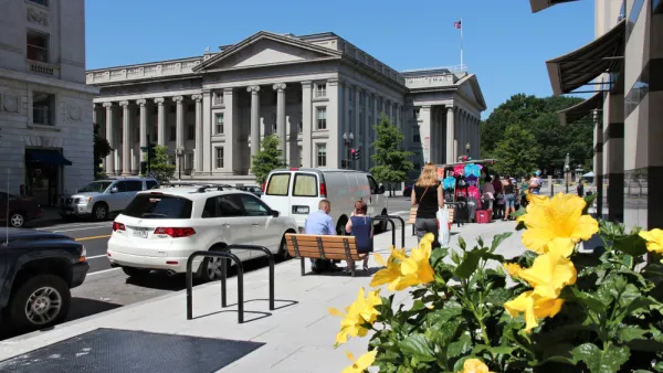
The humble curb is getting crowded: not only with new modes of transportation, but also with a slew of new data tools aiming to keep track of it all.
Tracking Chicago’s Potholes
A new animated map presents the reported cases of potholes in Chicago since November—the maps colorful and provides insights into how the city, and our relationship to it, can change with time.

Planetizen Federal Action Tracker
A weekly monitor of how Trump’s orders and actions are impacting planners and planning in America.

Amtrak, CN end decades-long dispute with eight-year agreement
The new operating agreement establishes an updated framework for the companies to work together, including processes to resolve disputes.

Judges permit Denver to divert 77,000 acre feet from the Colorado River for reservoir expansion
Overuse and climate change have caused the Colorado River’s water levels to plummet.
NYC DOT wants faster, more permanent street upgrades
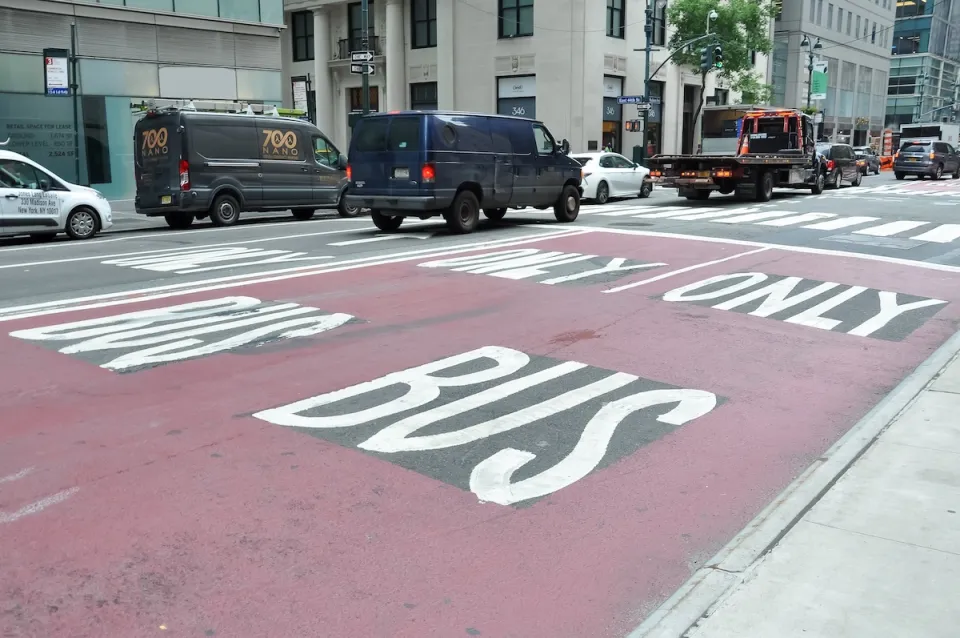
The city is examining ways to build more concrete infrastructure without getting entangled in 'decades-long' projects.

'Something we’ve never seen before:' rising utility rates could strain city finances nationwide
Data centers, climate change and other factors have caused utility rates in the United States to increase by 38% since 2020.

Trump to overrule local leaders, lease millions of acres of America’s Pacific Island territories’ seafloors to mining companies
International law says that the Indigenous people of America’s territories have a right to prior and informed consent regarding projects that impact their countries.

FREE Course: Walkable City 1: Why Walkability?
After describing his path towards focusing on walkability as the essence of good planning, Jeff Speck marches through his five principal reasons for making more walkable places.
Reinventing Malls: Planning Alchemy—Turning Gray Fields Into Gold
The course focuses on the opportunities and imperatives that shape reinvention of mall sites.

Harvard University Graduate School of Design
KFH Group Inc.
Greater Baltimore Committee
The Architects Foundation
University of Cincinnati Online
The Pocatello Development Authority
The Urban Renewal Agency of the City of Pocatello