Some are calling one of the proposed routes for an extended Scarborough subway route in Toronto a straw man. The discussion about the route provides insight into the city's current transit planning process.


Jennifer Pagliaro reports on the potential of a subway line along Bellamy Road, "the leafy heart of Scarborough" in Toronto.
Pagliaro describes Bellamy Road: "Buses arrive infrequently on a weekday afternoon; the way is lined with fenced-in backyards butting up on grass-bordered sidewalks and calm pedestrian crossings shaded by a dense tree canopy. Single-family detached homes fan out from the road along quiet cul-de-sacs."
And yet, Bellamy Road is one of three options under consideration by the city for the Scarborough subway extension. According to Paglaino, the Bellamy Road route's farthest east location makes it the most viable of the three for Mayor John Tory.
But, according to the main argument of the article, that option isn't a very good one. "Experts who spoke at length with the Star say it doesn’t appear there’s the density or ridership to justify a subway along the Bellamy Rd. corridor — or the additional costs it would require to build it," according to Pagliaro.
The article goes on to provide a lot more detail about the potential routes of the proposed subway and the political considerations that will influence a final decision. Final studies on the proposed routes are expected in fall of this year.
Read the full story: A subway, here? Bellamy Road route looks like a leafy pipe dream

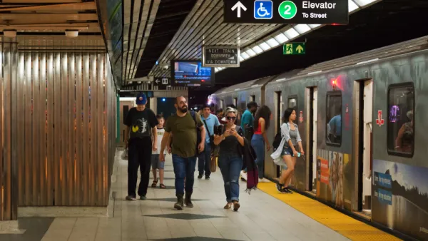
Toronto Subway Plan Gains Federal Backing
A key piece of the funding required to achieve Ontario Premier Doug Ford's vision for an expanded subway system in Greater Toronto Area clicked into place this week.
Expedited Transit Planning Process Passed Into Law in Ontario
The controversial subway plan announced by Ontario Premier Doug Ford in April 2020 now has legislative support in the form of a new law that expedites the planning, design, and construction process for transit projects in the province.
Reactions to Ontario's Subway Takeover Plan
Last week, Ontario Premier Doug Ford announced a plan to replace Toronto's subway expansion plans with a vision of his own. Reactions have been pouring in ever since.

Planetizen Federal Action Tracker
A weekly monitor of how Trump’s orders and actions are impacting planners and planning in America.

California plans to bury El Niño’s downpour
If the state plays its cards right, it may be able to store a billion acre-feet of El Niño’s water in aquifers.

Desperate measures: Advocates weigh draining Lake Powell to fill Colorado River
Draining the reservoir could reduce evaporation losses by a couple hundred thousand acre-feet.

California city breaks ground on transit connector
The project includes three mobility hubs and a pedestrian bridge.

After public outcry, Massachusetts city releases housing development tracker
Cambridge’s tracker currently shows 250 housing projects in various stages of development.

40 years after approval, Chicago breaks ground on new park
The park honors Jean Baptiste Point du Sable, the city’s first permanent non-native settler.

FREE Course: Walkable City 1: Why Walkability?
After describing his path towards focusing on walkability as the essence of good planning, Jeff Speck marches through his five principal reasons for making more walkable places.
Reinventing Malls: Planning Alchemy—Turning Gray Fields Into Gold
The course focuses on the opportunities and imperatives that shape reinvention of mall sites.

City of Rosemead
Rutgers University, Edward J. Bloustein School of Planning and Public Policy
One Hundred Miles
Hunter College, City University of New York (CUNY)
The Architects Foundation
University of Cincinnati Online
City of Cambridge
Montrose County
The Pocatello Development Authority