


Recent floods in Texas, especially prevalent in Houston, reflect a stormwater infrastructure that both worked as it's designed and is in need of improvements.
"Like a lot of residents of the Houston area, local highway officials just had to let water do its thing when it came to clearing some local highways during recent rains," according to an article by Dug Begley.
Begley quotes Karen Othon, spokeswoman for the Texas Department of Transportation (TxDOT) Houston office, directly in explaining last week's massive flooding across Texas: "With the detention ponds and bayous full, there was nowhere for the water to go."
"After the waters receded, transportation officials said they believed that inlets and pumps that keep freeways from flooding worked, except in certain flood-prone spots that had not undergone significant repairs. However, the heavy rains were a little more than the systems could handle."
The flooding, as innocent as these explanations makes it seem, wreaked havoc on commutes and property left inundated as the rains fell and the region's stormwater infrastructure struggled to keep up. As explained in the article, however, the top priority for the region's infrastructure is to keep homes clear of the flooding—not roadways. Othon also told Begley that planned highway improvements underway by the TxDOT will correct many of the problem flooding encountered in recent storms.
FULL STORY: Road flooding a reality in heavy Houston rains


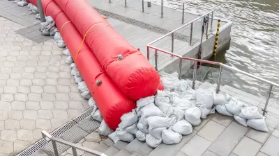
How US Communities Are Building Resilience Against Flooding
Flooding causes over $400 billion in damage in the United States every year.
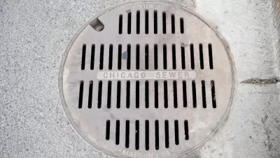
Chicago to Update Stormwater Plan
Chicago is one of 700 U.S. cities with combined sewer and stormwater systems that often lead to flooding during major rain events.
Planning for Future Floods
New climate and flood models are needed to understand growing flood risks.

Maui's Vacation Rental Debate Turns Ugly
Verbal attacks, misinformation campaigns and fistfights plague a high-stakes debate to convert thousands of vacation rentals into long-term housing.

Planetizen Federal Action Tracker
A weekly monitor of how Trump’s orders and actions are impacting planners and planning in America.

Chicago’s Ghost Rails
Just beneath the surface of the modern city lie the remnants of its expansive early 20th-century streetcar system.

Bend, Oregon Zoning Reforms Prioritize Small-Scale Housing
The city altered its zoning code to allow multi-family housing and eliminated parking mandates citywide.

Amtrak Cutting Jobs, Funding to High-Speed Rail
The agency plans to cut 10 percent of its workforce and has confirmed it will not fund new high-speed rail projects.

LA Denies Basic Services to Unhoused Residents
The city has repeatedly failed to respond to requests for trash pickup at encampment sites, and eliminated a program that provided mobile showers and toilets.
Urban Design for Planners 1: Software Tools
This six-course series explores essential urban design concepts using open source software and equips planners with the tools they need to participate fully in the urban design process.
Planning for Universal Design
Learn the tools for implementing Universal Design in planning regulations.
planning NEXT
Appalachian Highlands Housing Partners
Mpact (founded as Rail~Volution)
City of Camden Redevelopment Agency
City of Astoria
City of Portland
City of Laramie