A favorite in Europe but rare in the United States, urban growth boundaries are intended to keep cities compact and hinterlands green. The few American cities with UGB's are trying to figuring out how to use them effectively.

The idea of an urban growth boundary (UGB) is simple: draw a line around a city, restrict development outside that line, and promote development inside that line. Cities grow more compact, and the outlying areas, whether they are used for agriculture or conservation, remain open and green. Simple as it is, some UGB's aren't worth the paper they're drawn on.
A session at the recent American Planning Association conference in Seattle analyzed the implementation of UGB's in three American cities: Portland, Oregon; King County (Seattle), Washington; and Denver, Colorado. Panelists agreed that the success of a UGB depends not on simply drawing a line but rather on sustained political support for the boundary and for the development patterns needed to complement the boundary. In some cities, weak political support leads to changing boundaries and renegotiations that render UGB's almost useless.
Some highlights:
- Portland: Since the UGB was created in 1979, "the population of Portland has grown 60 percent, while the urban growth boundary has expanded just 14 percent." Despite an expected addition of 200,000 homes to the area by 2035, the city does not currently expect to expand its boundary.
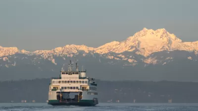
- King County: "In 1990, there was a bipartisan agreement that led to the growth management act, which down-zoned two-thirds of the county from development areas to rural land, agriculture, and forests....98 percent of growth has been in the urban growth boundary." Rural landowners can transfer development rights to cities (but not vice-versa) to further encourage growth within the boundary.
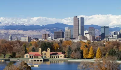
- Denver: The UGB of the Denver area has grown from encompassing 750 to 921 square miles since its inception in 1997. Cities "self-certify" their participation in the UGB plan, meaning that it relies on "peer pressure" to promote compact development.
FULL STORY: Do Urban Growth Boundaries Work?

Planetizen Federal Action Tracker
A weekly monitor of how Trump’s orders and actions are impacting planners and planning in America.

Maui's Vacation Rental Debate Turns Ugly
Verbal attacks, misinformation campaigns and fistfights plague a high-stakes debate to convert thousands of vacation rentals into long-term housing.

San Francisco Suspends Traffic Calming Amidst Record Deaths
Citing “a challenging fiscal landscape,” the city will cease the program on the heels of 42 traffic deaths, including 24 pedestrians.

Defunct Pittsburgh Power Plant to Become Residential Tower
A decommissioned steam heat plant will be redeveloped into almost 100 affordable housing units.

Trump Prompts Restructuring of Transportation Research Board in “Unprecedented Overreach”
The TRB has eliminated more than half of its committees including those focused on climate, equity, and cities.

Amtrak Rolls Out New Orleans to Alabama “Mardi Gras” Train
The new service will operate morning and evening departures between Mobile and New Orleans.
Urban Design for Planners 1: Software Tools
This six-course series explores essential urban design concepts using open source software and equips planners with the tools they need to participate fully in the urban design process.
Planning for Universal Design
Learn the tools for implementing Universal Design in planning regulations.
Heyer Gruel & Associates PA
JM Goldson LLC
Custer County Colorado
City of Camden Redevelopment Agency
City of Astoria
Transportation Research & Education Center (TREC) at Portland State University
Jefferson Parish Government
Camden Redevelopment Agency
City of Claremont


