


The blogosphere caught wind of a plan from 1912 that would have completely altered the geography of New York City as we know it. Make no little plans, indeed.

Jen Carlson shares the historic oddity of a 1912 plan called "A Really Greater New York," proposed by engineer T. Kennard Thomson. In addition to paving the East River, Carlson reports, the plan included the following: "The Brooklyn Navy Yard would have been moved to Newark Bay, a new Harlem River would have run through part of Manhattan, and a new East River would have been placed between Brooklyn and Queens. Also? Grand Central Terminal would have built on top of the newly paved East River."
In a separate post, Kelsey Campbell-Dollaghen notes that the plan would have added 50 square miles to the city's current footprint of 469 square miles. Campbell-Dollaghen also notes that the plan isn't too much of stretch to imagine, given Manhattan's historic expansion
FULL STORY: The Early 1900s Plan To Annex Governors Island & Make Manhattan Larger

Staten Island Ferris Wheel Back From the Dead
With much of the infrastructure for the failed, 630-foot Ferris wheel project partially in place, investors are looking for ways to bring the New York Wheel back to life.
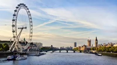
The New York Wheel Stops Spinning
Actually, the New York Wheel never started spinning, but now the project is permanently dead so it will never get the chance.
Tour the Never Built Projects of New York
The most fantastic and fanciful projects ever proposed for New York City are collected and celebrated in a new book.

Maui's Vacation Rental Debate Turns Ugly
Verbal attacks, misinformation campaigns and fistfights plague a high-stakes debate to convert thousands of vacation rentals into long-term housing.

Planetizen Federal Action Tracker
A weekly monitor of how Trump’s orders and actions are impacting planners and planning in America.

San Francisco Suspends Traffic Calming Amidst Record Deaths
Citing “a challenging fiscal landscape,” the city will cease the program on the heels of 42 traffic deaths, including 24 pedestrians.

Defunct Pittsburgh Power Plant to Become Residential Tower
A decommissioned steam heat plant will be redeveloped into almost 100 affordable housing units.

Trump Prompts Restructuring of Transportation Research Board in “Unprecedented Overreach”
The TRB has eliminated more than half of its committees including those focused on climate, equity, and cities.

Amtrak Rolls Out New Orleans to Alabama “Mardi Gras” Train
The new service will operate morning and evening departures between Mobile and New Orleans.
Urban Design for Planners 1: Software Tools
This six-course series explores essential urban design concepts using open source software and equips planners with the tools they need to participate fully in the urban design process.
Planning for Universal Design
Learn the tools for implementing Universal Design in planning regulations.
Heyer Gruel & Associates PA
JM Goldson LLC
Custer County Colorado
City of Camden Redevelopment Agency
City of Astoria
Transportation Research & Education Center (TREC) at Portland State University
Jefferson Parish Government
Camden Redevelopment Agency
City of Claremont