


The Arts District in Downtown Los Angeles has seen plenty of chic newcomers in recent years—high-end cafes, restaurants, and expensive lofts. But a recently revealed plan that would allow new, dense construction has sparked controversy.
Catherine Saillant reports on "proposed guidelines that could add up to 1,500 residential units and potentially double the population of [the Arts District] community" in Los Angeles.
"Planners at City Hall have been working on the draft law for about a year, said Patricia Diefenderfer, a senior city planner. It would allow for residential projects that are not permitted today, she said." Saillant also writes: "Unveiled last month, the draft plan permits construction of apartment buildings that are taller and denser than the low-slung brick warehouses and vacant manufacturing plants that artists and gallery owners have converted into airy lofts and workspaces over three decades."
The "Arts District Draft Live/Work Interim Zone" [pdf], as it's called, has already sparked controversy during hearings with the Planning Department, according to the article. There's even a petition of opposition on Change.org. The neighborhood to the east of the Downtown central business district and next to the Los Angeles River has seen an influx of high end retail and residential in recent years, but usually through adaptive reuse of historic industrial buildings.
FULL STORY: Some fear Arts District development plan would ruin the neighborhood

LA Times: City Council Should Take Responsibility for Lack of Transit Oriented Development
The Los Angeles Times editorial board has strong words for the Los Angeles City Council about planning for transit oriented development.
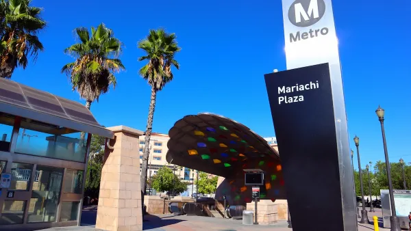
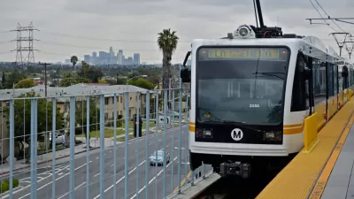
High Housing Costs Driving Down Transit Ridership in LA
When neighborhoods gentrify and displace lower-income residents, transit ridership suffers, new research shows.
Controversial Comprehensive Plan Update Moves Forward in Charlottesville
Residents have had a chance to oppose the new residential density proposed by the "Charlottesville Plans Together" comprehensive planning process.

Maui's Vacation Rental Debate Turns Ugly
Verbal attacks, misinformation campaigns and fistfights plague a high-stakes debate to convert thousands of vacation rentals into long-term housing.

Planetizen Federal Action Tracker
A weekly monitor of how Trump’s orders and actions are impacting planners and planning in America.

In Urban Planning, AI Prompting Could be the New Design Thinking
Creativity has long been key to great urban design. What if we see AI as our new creative partner?

King County Supportive Housing Program Offers Hope for Unhoused Residents
The county is taking a ‘Housing First’ approach that prioritizes getting people into housing, then offering wraparound supportive services.

Researchers Use AI to Get Clearer Picture of US Housing
Analysts are using artificial intelligence to supercharge their research by allowing them to comb through data faster. Though these AI tools can be error prone, they save time and housing researchers are optimistic about the future.

Making Shared Micromobility More Inclusive
Cities and shared mobility system operators can do more to include people with disabilities in planning and operations, per a new report.
Urban Design for Planners 1: Software Tools
This six-course series explores essential urban design concepts using open source software and equips planners with the tools they need to participate fully in the urban design process.
Planning for Universal Design
Learn the tools for implementing Universal Design in planning regulations.
planning NEXT
Appalachian Highlands Housing Partners
Mpact (founded as Rail~Volution)
City of Camden Redevelopment Agency
City of Astoria
City of Portland
City of Laramie