


The "Accidental Skyline" project puts a powerful visualization tool in the hands of citizens curious to know more about the possible development enabled by the land use regulations of New York City.
Matt Shaw shares news of the Accidental Skyline project, which is "a set of online maps that illustrate where possible development could occur in Gotham. The maps…allow citizens to track land that has available development rights and see how it could impact their neighborhood."
"The maps highlight the impacts of development on parks, open space, infrastructure, and skyline, and were made possible by the Department of City Planning’s public release of MapPLUTO data last year. They've been updated to include transportation routes, parks, and New York Housing Authority land overlays to present a more comprehensive picture of planning issues."
The project is the work of the Municipal Art Society, which created the maps as a tool "to work with the city to make regulatory changes that will better protect iconic public spaces."
FULL STORY: This App Maps the Unseen Skyline of NYC

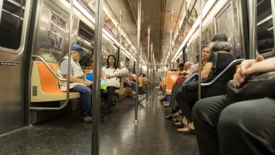
Miss the Subway? There's an App for That
The NYC Subway Sounds app is a great tool for dealing with nostalgia for the old ways of life.
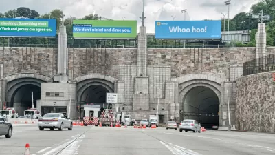
Waze Outfits NYC Tunnels with Beacons for Underground Navigation
The tech is part of a public-private partnership meant to improve connectivity to Waze and other navigation apps from underground.

A New York City Planner’s Long and Influential History
A look back at Purnima Kapur’s career highlights the long-term impacts of her planning work.

Maui's Vacation Rental Debate Turns Ugly
Verbal attacks, misinformation campaigns and fistfights plague a high-stakes debate to convert thousands of vacation rentals into long-term housing.

Planetizen Federal Action Tracker
A weekly monitor of how Trump’s orders and actions are impacting planners and planning in America.

In Urban Planning, AI Prompting Could be the New Design Thinking
Creativity has long been key to great urban design. What if we see AI as our new creative partner?

King County Supportive Housing Program Offers Hope for Unhoused Residents
The county is taking a ‘Housing First’ approach that prioritizes getting people into housing, then offering wraparound supportive services.

Researchers Use AI to Get Clearer Picture of US Housing
Analysts are using artificial intelligence to supercharge their research by allowing them to comb through data faster. Though these AI tools can be error prone, they save time and housing researchers are optimistic about the future.

Making Shared Micromobility More Inclusive
Cities and shared mobility system operators can do more to include people with disabilities in planning and operations, per a new report.
Urban Design for Planners 1: Software Tools
This six-course series explores essential urban design concepts using open source software and equips planners with the tools they need to participate fully in the urban design process.
Planning for Universal Design
Learn the tools for implementing Universal Design in planning regulations.
planning NEXT
Appalachian Highlands Housing Partners
Mpact (founded as Rail~Volution)
City of Camden Redevelopment Agency
City of Astoria
City of Portland
City of Laramie