A group of graduate planning student at UCLA have compiled the first comprehensive survey of urban agriculture in Los Angeles County, providing tools for planners and policy-makers to boost the area's agricultural fecundity.


"The new report, "Cultivate L.A.: An Assessment of Urban Agriculture in L.A. County," is intended to aid city planners as they learn how to accommodate these new land uses in the nation's most populous county," says an article on the UCLA Luskin School of Public Affairs website. "Project managers also expect the data to be a useful tool for urban agriculture practitioners and start-up entrepreneurs seeking information about current and future business models and siting opportunities for urban agriculture enterprises."
"Drawing on public records, personal interviews and sophisticated surveying and validation methods, the researchers produced an interactive map — hosted at cultivatelosangeles.org — detailing the location of every formal urban agriculture site across the county, excluding residential backyard gardens. The map is supplemented by a report, downloadable from the same website, with in-depth analysis, case studies and other resources."
Among the key findings:
- L.A. County is home to 1,261 verified urban agriculture sites
- The majority of those sites (761) are school gardens
- "Definitions for agricultural activities in municipal codes vary widely across the county, making it difficult — if not impossible — for urban farmers to operate in compliance with local health and zoning regulations."
Read the full story: Luskin students compile first look at farms in LA

After years of opposition to light rail, this L.A. city wants a $200 million station
Cerritos officials want the Southeast Gateway Line, a planned 14.5-mile light rail route through Los Angeles County, to stop in their city.

LA begins work on $4 billion light rail through San Fernando Valley
The project will be the areas first light rail service since the termination of the Pacific Electric Railway in the 1950s.
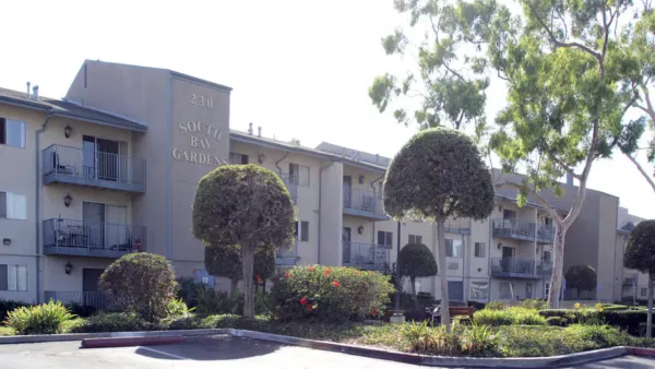
Los Angeles opens public housing waitlist for first time in over two years
The 16 properties with newly available waitlist spots accept families and senior residents.

Planetizen Federal Action Tracker
A weekly monitor of how Trump’s orders and actions are impacting planners and planning in America.

Eastern Nebraska is running out of electricity
Data centers and electrification are straining eastern Nebraska’s grid, throttling economic development.

Study reveals best places in the U.S. for cycling, walking
New research from Streetlight Data examines bicycle and pedestrian miles per capita in the 100 largest U.S. cities by population.

DSA members accuse Mamdani of 'abandoning values' over housing redevelopment
New York City's mayor plans to replace about 2,000 units of public housing with private, mixed-income housing.

All sides of BRT debate unhappy with CDOT’s most recent move
The Colorado Department of Transportation is no longer considering center-running bus lanes for Colorado Boulevard.

Massachusetts bogs generate both power, and cranberries
Putting solar panels above farmland is one way Massachusetts is advancing toward its goal of net-zero carbon emissions by 2050.

FREE Course: Walkable City 1: Why Walkability?
After describing his path towards focusing on walkability as the essence of good planning, Jeff Speck marches through his five principal reasons for making more walkable places.
Reinventing Malls: Planning Alchemy—Turning Gray Fields Into Gold
The course focuses on the opportunities and imperatives that shape reinvention of mall sites.

City of Rosemead
Rutgers University, Edward J. Bloustein School of Planning and Public Policy
One Hundred Miles
University of Michigan School for Environment and Sustainability (SEAS)
Hunter College, City University of New York (CUNY)
The Architects Foundation
City of Cambridge
The Pocatello Development Authority
The Urban Renewal Agency of the City of Pocatello