With great fanfare, St. Louis put out an RFP last year to study the conversion of a portion of the elevated I-70 highway separating downtown St. Louis from its historic riverfront into a boulevard. That study has been scrapped for vague reasons.


"City development officials kicked off last year a study that was to take a look at tearing down the elevated section of Interstate 70 that divides the northern half of downtown St. Louis from the riverfront," reports Tim Logan. "The study was scheduled to be done in December, but instead was quietly put on hold."
"Now it is finally coming off the shelf, apparently without any look at the elevated highway."
At nextSTL, Alex Ihnen takes a look at the machinations that may have led to the omission, and the implications for downtown improvement efforts.
"After the story went live on the Post-Dispatch website, Logan later Tweeted: City called back about I-70 elevated lanes. Said they were cut from downtown study b/c of $, not unwillingness. Still, no $ for new study. There's no word yet if the study will completely omit the I-70 to boulevard concept, or simply not offer a full view of options," observes Ihnen.
"The issue at hand is really the issue of how to envision the future of St. Louis, and not the political and hidden power plays that we all understand shape the city to some degree," he continues. "But why isn’t anyone willing to own and explain the apparent controversy surrounding the study? When will a political victory over (perceived) opponents not be an end unto itself? When will the most simple step of discussing ideas for our city’s future be rewarded?"
Read the full story: Dispute over I-70 teardown shelves downtown study

Will St. Louis Become the Next City to Demolish Its Elevated Urban Highway?
Alex Ihnen writes about the fast moving proposal to convert 1-mile of the elevated I-70 highway separating downtown St. Louis from its historic riverfront.
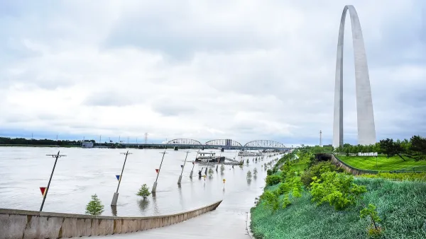
St. Louis has a Secret Stormwater Weapon Saving 100 Million Gallons from the Mississippi
The city reimburses residents who install gardens, rain barrels, and other methods that retain stormwater and decrease the risk of flooding.
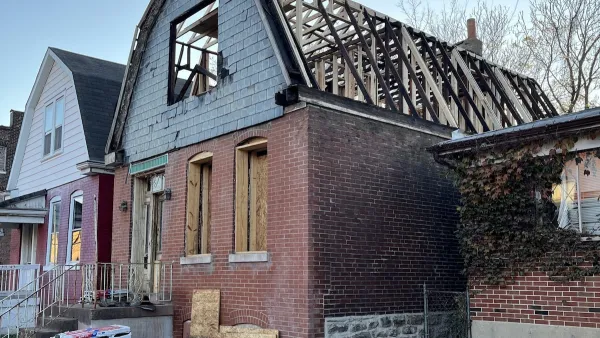
St. Louis Nonprofit Builds Housing for Struggling Artists
The St. Louis Art Place Initiative purchases city-owned vacant properties and rehabilitates them, offering homeownership opportunities to local artists.

Planetizen Federal Action Tracker
A weekly monitor of how Trump’s orders and actions are impacting planners and planning in America.

California plans to bury El Niño’s downpour
If the state plays its cards right, it may be able to store a billion acre-feet of El Niño’s water in aquifers.

Chicago breaks ground on $3 billion megadevelopment
The new neighborhood, titled Foundry Park, will one day host 3,700 residences.

Satanic Place Names
From streams and lakes to valleys and canyons, I mapped more than 1,000 places named after the Devil.

California High-Speed Rail Authority CEO resigns after $600,000 scandal
Under Ian Choudri, the authority used taxpayer dollars to fund first class flights and trips to nightclubs.

Want to study the Missouri River? Soon, you may need unanimous approval from 10 states
Legislation would require 10 governors’ permission to study or build projects moving water outside the basin.

FREE Course: Walkable City 1: Why Walkability?
After describing his path towards focusing on walkability as the essence of good planning, Jeff Speck marches through his five principal reasons for making more walkable places.
Reinventing Malls: Planning Alchemy—Turning Gray Fields Into Gold
The course focuses on the opportunities and imperatives that shape reinvention of mall sites.

City of Rosemead
Rutgers University, Edward J. Bloustein School of Planning and Public Policy
One Hundred Miles
Hunter College, City University of New York (CUNY)
The Architects Foundation
University of Cincinnati Online
City of Cambridge
Montrose County
The Pocatello Development Authority