New York City is marking its continued recovery from Superstorm Sandy with redesigned beach signs.


The signs show the yellow-and-blue NYC Beaches logo, the name of the beach, its location, and an image of the beach. “This was about making the beach the hero, since the boardwalk is gone,” explains designer Paula Scher of Pentagram.
Last November’s storm destroyed 14 miles of beaches in the region of the Big Apple. Now, especially with reconstruction ongoing, even locals have a hard time finding their way to the shore, Mark Byrnes explains. The new signs are meant to help orient both city residents and visitors, in addition to celebrating the reemergence of New York City’s beach culture.
An additional $386 million has been allocated for restoration work, including dune repairs and boardwalk shoreline protections.
Read the full story: A Sharp New Look for New York City Beach Signs

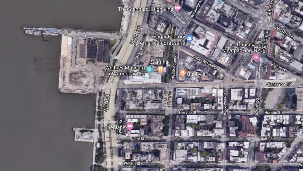
Designs Revealed for Manhattan's First Public Beach
A designer was chosen in January, and conceptual rendering were released in July. Project boosters are also pushing an ambitious timeline that would start construction in late 2020.
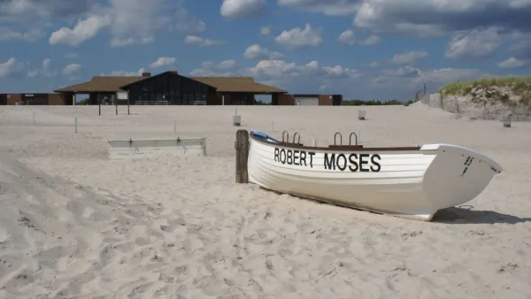
New Hurricane Protections Leave New Yorkers Wanting More
"Glorified sandbags," costing $3 million, will be installed in New York City.
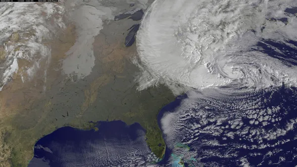
Army Corps Proposes Sea Barriers to Protect New York from Rising Seas
A massive infrastructure project is on the table in New York, after the U.S. Army Corps of Engineers released a new feasibility study.

Planetizen Federal Action Tracker
A weekly monitor of how Trump’s orders and actions are impacting planners and planning in America.

Amtrak, CN end decades-long dispute with eight-year agreement
The new operating agreement establishes an updated framework for the companies to work together, including processes to resolve disputes.

Judges permit Denver to divert 77,000 acre feet from the Colorado River for reservoir expansion
Overuse and climate change have caused the Colorado River’s water levels to plummet.

Atlanta City Council unanimously backs $3.5 billion Beltline light rail project
The resolution was drafted after Atlanta Mayor Andre Dickens pulled support for the Atlanta Streetcar extension last year.

SEPTA to bring nearby frequent transit to over 1 million new riders as part of decade-long plan
The agency's Accelerate plan will also bring frequent transit to twice the amount of jobs that are currently located near it.

NYC plants over 18,000 trees, the most new foliage in a decade
Many of the trees were planted in communities vulnerable to extreme heat.

FREE Course: Walkable City 1: Why Walkability?
After describing his path towards focusing on walkability as the essence of good planning, Jeff Speck marches through his five principal reasons for making more walkable places.
Reinventing Malls: Planning Alchemy—Turning Gray Fields Into Gold
The course focuses on the opportunities and imperatives that shape reinvention of mall sites.

City of Thousand Oaks
City of Wisconsin Rapids
Harvard University Graduate School of Design
The Architects Foundation
University of Cincinnati Online
The Pocatello Development Authority
The Urban Renewal Agency of the City of Pocatello