


The increased proximity provided by more compact and centralized development is about ten times more influential than vehicle traffic speed on the number of destinations that people can reach within a given travel time.
Researchers analyzed the number of destinations that can be accessed within a given amount of travel time by mode (automobile and transit) and purpose (work and non-work trips) for about 30 US metropolitan areas. They found that although denser urban development tends to reduce vehicle travel speeds, the increased proximity is about ten times more influential than travel speed in determining a metropolitan area’s overall accessibility. This indicates that smart growth policies which increase development density and mix, transport network connectivity, and transport system diversity can do more to improve overall transport system performance than efforts to increase traffic speeds and reduce congestion.
The authors conclude, "Having destinations nearby, as when densities are high, offers benefits even when the associated congestion slows traffic. Where land use policy frequently seeks to support low-development densities in part in an attempt to maintain travel speeds and forestall traffic congestion, our findings suggest that compact development can often improve transportation outcomes."

Toward More Comprehensive Understanding of Traffic Congestion
Conventional planning tends to consider traffic congestion asignificant cost and roadway expansion the preferred solution. It evaluates transport system performance based on indicators such as roadway Level of Service (LOS) and peak-period traffic
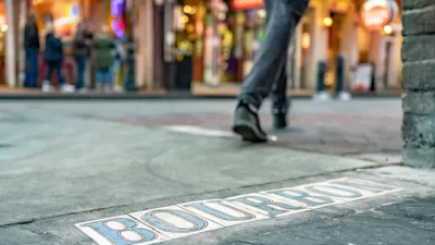
New Orleans Makes Push for Accessibility Improvements Ahead of Super Bowl
Major sporting events like the Olympics and the Super Bowl can serve as catalysts for major changes in transportation infrastructure and accessibility.

Planning for Accessibility: Proximity is More Important than Mobility
Accessibility-based planning minimizes the distance that people must travel to reach desired services and activities. Measured this way, increased density can provide more total benefits than increased speeds.

Planetizen Federal Action Tracker
A weekly monitor of how Trump’s orders and actions are impacting planners and planning in America.

Maui's Vacation Rental Debate Turns Ugly
Verbal attacks, misinformation campaigns and fistfights plague a high-stakes debate to convert thousands of vacation rentals into long-term housing.

San Francisco Suspends Traffic Calming Amidst Record Deaths
Citing “a challenging fiscal landscape,” the city will cease the program on the heels of 42 traffic deaths, including 24 pedestrians.

Amtrak Rolls Out New Orleans to Alabama “Mardi Gras” Train
The new service will operate morning and evening departures between Mobile and New Orleans.

The Subversive Car-Free Guide to Trump's Great American Road Trip
Car-free ways to access Chicagoland’s best tourist attractions.

San Antonio and Austin are Fusing Into one Massive Megaregion
The region spanning the two central Texas cities is growing fast, posing challenges for local infrastructure and water supplies.
Urban Design for Planners 1: Software Tools
This six-course series explores essential urban design concepts using open source software and equips planners with the tools they need to participate fully in the urban design process.
Planning for Universal Design
Learn the tools for implementing Universal Design in planning regulations.
Heyer Gruel & Associates PA
JM Goldson LLC
Custer County Colorado
City of Camden Redevelopment Agency
City of Astoria
Transportation Research & Education Center (TREC) at Portland State University
Jefferson Parish Government
Camden Redevelopment Agency
City of Claremont