


The "Best of" roll continues with Emily Badger's list of the most useful tools, maps and data visualizations to make use of municipal open data over the past year.
As recent writings on Planetizen have noted, the emerging methods of urban governance, planning, design, and management made possible by technological advances in data collection, analysis, and communication promise to make our cities better, and more efficient, places to live. As more cities take advantage of the opportunities made possible by Big Data, a wider range of possibilities for the instrumentalization of such data become evident. Over the past year, for instance, a group of Code for America fellows unveiled a new web application to help identify and clean up New Orleans's blighted properties, and San Francisco’s Department of Public Health published a High-Injury Corridors map, an indispensable tool in identifying the city's most dangerous streets for pedestrians.
From green roofs in Chicago to dangerous dogs in Austin, Badger examines eight other significant open data releases from 2012.
FULL STORY: The Best Open Data Releases of 2012


The State of Mobility as a Service Platforms
With so many new mobility options available in cities, mobility as a service (MaaS) platforms have a lot of work to do for a lot of people. Development is still catching up to the scope of the endeavor.

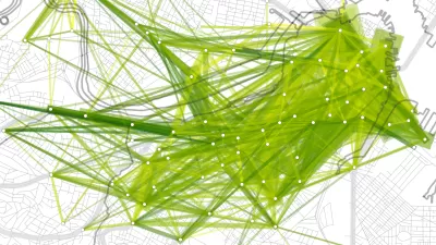
A Better Way to Compare Cities
An online tool released three weeks ago by the Chicago Federal Reserve allows a more nuanced comparison between peer cities.
An Online Portal for Making Sense of Toronto Traffic Data
With so many potential sources of data with which to analyze traffic behaviors and real-time conditions, University of Toronto engineers have created an online portal that could one day help drive a system populated with autonomous cars.

Maui's Vacation Rental Debate Turns Ugly
Verbal attacks, misinformation campaigns and fistfights plague a high-stakes debate to convert thousands of vacation rentals into long-term housing.

Planetizen Federal Action Tracker
A weekly monitor of how Trump’s orders and actions are impacting planners and planning in America.

Chicago’s Ghost Rails
Just beneath the surface of the modern city lie the remnants of its expansive early 20th-century streetcar system.

Bend, Oregon Zoning Reforms Prioritize Small-Scale Housing
The city altered its zoning code to allow multi-family housing and eliminated parking mandates citywide.

Amtrak Cutting Jobs, Funding to High-Speed Rail
The agency plans to cut 10 percent of its workforce and has confirmed it will not fund new high-speed rail projects.

LA Denies Basic Services to Unhoused Residents
The city has repeatedly failed to respond to requests for trash pickup at encampment sites, and eliminated a program that provided mobile showers and toilets.
Urban Design for Planners 1: Software Tools
This six-course series explores essential urban design concepts using open source software and equips planners with the tools they need to participate fully in the urban design process.
Planning for Universal Design
Learn the tools for implementing Universal Design in planning regulations.
planning NEXT
Appalachian Highlands Housing Partners
Mpact (founded as Rail~Volution)
City of Camden Redevelopment Agency
City of Astoria
City of Portland
City of Laramie