The city recently launched SFBetterStreets.org to be a central source of information to help residents with street improvements like traffic-calming, parklets, bike corrals, plantings, art installations, and sidewalk fixtures.


The San Francisco Better Streets Program launched a new website this week to provide a central source of information to help residents procure street improvements like traffic-calming measures, parklets, bike corrals, plantings, art installations, sidewalk fixtures, and permits for car-free events in their neighborhood.
The website, sfbetterstreets.org, "combines all the city's guidelines, permit requirements, and resources for public space development onto one site, giving the user a handy step-by-step approach toward improving San Francisco's streets," the Planning Department said in a release.
Launched as a collaboration of the Planning Department, Department of Public Works, SF Public Utilities Commission, and the SFMTA, the site should help spread awareness of the street improvements available to residents and guide them through the city's bureaucratic processes.
"Before this website was launched, this information wasn't available. For someone to go through the process, someone would have to go and contact various departments around the city," said Joanna Linsangan, communications manager for the Planning Department. "People may not think they have the ability to do so, but if they want to, they can apply for a parklet, put out bike racks or put out planters in their neighborhood, at their storefront, and we're trying to give them all the information to make it happen."
The site follows the spirit of the 2010 Better Streets Plan, which is aimed at streamlining the process for making improvements to the pedestrian environment. Linsangan said the site was launched during Small Business Week since merchants often show interest in improving the areas around their storefronts.
The website features alluring pages that explain the ins and outs of permit processes, maintenance regulations, planning codes, ways for residents to build neighborhood support for projects, funding sources, and more.
Thanks to Winkles Rabbit
Read the full story: New "Better Streets" Website Helps Residents Untangle City Bureaucracy
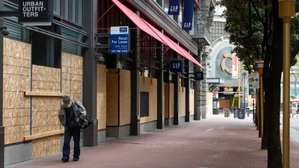
A ‘Public Realm Action Plan’ Charts San Francisco’s Post-Covid Comeback
A nonprofit business group released a plan to trigger the post-pandemic revitalization of Downtown San Francisco by reclaiming public space for human scale activity. But is an improved public realm sufficient to meet the challenge?
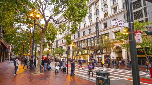
Car-Free Market Street Benefits Micromobility, Transit Without Ruining Car Commutes, Studies Say
Multiple studies have quantified the early results from a project in San Francisco that blocked most private automobile traffic from Market Street in the city's downtown.
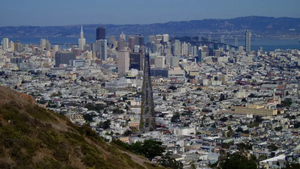
$604 Million Market Street Redesign Nears the Finish Line in San Francisco
Private automobiles could be prohibited on San Francisco's primary downtown thoroughfare, and already-wide sidewalks could be extended and smoothed over. The Better Market Street project is ready for its close up.

Planetizen Federal Action Tracker
A weekly monitor of how Trump’s orders and actions are impacting planners and planning in America.

Eastern Nebraska is running out of electricity
Data centers and electrification are straining eastern Nebraska’s grid, throttling economic development.

Study reveals best places in the U.S. for cycling, walking
New research from Streetlight Data examines bicycle and pedestrian miles per capita in the 100 largest U.S. cities by population.

DSA members accuse Mamdani of 'abandoning values' over housing redevelopment
New York City's mayor plans to replace about 2,000 units of public housing with private, mixed-income housing.

All sides of BRT debate unhappy with CDOT’s most recent move
The Colorado Department of Transportation is no longer considering center-running bus lanes for Colorado Boulevard.

Massachusetts bogs generate both power, and cranberries
Putting solar panels above farmland is one way Massachusetts is advancing toward its goal of net-zero carbon emissions by 2050.

FREE Course: Walkable City 1: Why Walkability?
After describing his path towards focusing on walkability as the essence of good planning, Jeff Speck marches through his five principal reasons for making more walkable places.
Reinventing Malls: Planning Alchemy—Turning Gray Fields Into Gold
The course focuses on the opportunities and imperatives that shape reinvention of mall sites.

City of Rosemead
Rutgers University, Edward J. Bloustein School of Planning and Public Policy
One Hundred Miles
University of Michigan School for Environment and Sustainability (SEAS)
Hunter College, City University of New York (CUNY)
The Architects Foundation
City of Cambridge
The Pocatello Development Authority
The Urban Renewal Agency of the City of Pocatello