


Transportation planner Jarrett Walker looks at the top 50 cities of over 100k people and the percentage of people who don't own a car. Do the cities that made the list shed some light on how planners can discourage car use?
Walker proposes that there are three main factors shared between the successful ones: age of the city (older cities have a higher percentage of carless), and dominant universities.
Walker writes, "Most cities on this list display two or more of these factors, but a few are models for just one of them. San Francisco on the list because of age -- a rare western city largely laid out before the car-dominated era, and thus by far the densest big city in the west. Berkeley is there because it's small city dominated by a big university. And many cities are there because of relative poverty, including most of the cities that would be on everyone's list of America's toughest urban reinvention challenges."
FULL STORY: three paths to a low-car city

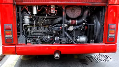
APTA Requests CDL Testing Change to Address Bus Operator Shortage
Eighty-four percent of U.S. transit agencies surveyed said CDL complexity was a hiring obstacle, with the “under-the-hood” requirement being the most challenging.
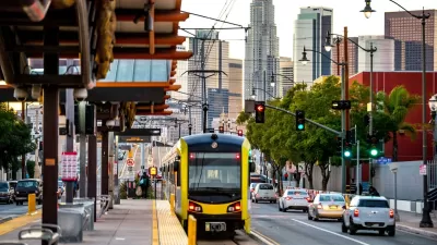
L.A. Transit Surpasses 1M Weekday Riders for First Time Since Pandemic
Rail and bus ridership in the Los Angeles metropolitan area is recovering at a faster rate than the national average.

Flixbus Nearing Deal With Chicago Bus Terminal
Greyhound is shedding stations around the country, but Chicago intercity bus passengers will still be able to use the city’s main bus terminal — for now.

Maui's Vacation Rental Debate Turns Ugly
Verbal attacks, misinformation campaigns and fistfights plague a high-stakes debate to convert thousands of vacation rentals into long-term housing.

Planetizen Federal Action Tracker
A weekly monitor of how Trump’s orders and actions are impacting planners and planning in America.

In Urban Planning, AI Prompting Could be the New Design Thinking
Creativity has long been key to great urban design. What if we see AI as our new creative partner?

Portland Raises Parking Fees to Pay for Street Maintenance
The city is struggling to bridge a massive budget gap at the Bureau of Transportation, which largely depleted its reserves during the Civd-19 pandemic.

Spokane Mayor Introduces Housing Reforms Package
Mayor Lisa Brown’s proposals include deferring or waiving some development fees to encourage more affordable housing development.

Houston Mayor Kills Another Bike Lane
The mayor rejected a proposed bike lane in the Montrose district in keeping with his pledge to maintain car lanes.
Urban Design for Planners 1: Software Tools
This six-course series explores essential urban design concepts using open source software and equips planners with the tools they need to participate fully in the urban design process.
Planning for Universal Design
Learn the tools for implementing Universal Design in planning regulations.
Gallatin County Department of Planning & Community Development
Heyer Gruel & Associates PA
JM Goldson LLC
City of Camden Redevelopment Agency
City of Astoria
Transportation Research & Education Center (TREC) at Portland State University
Jefferson Parish Government
Camden Redevelopment Agency
City of Claremont