This piece from Scientific American looks at the jurisdictional challenge of conserving water in the cross-state Ogallala Aquifer, one of the world's largest sources of freshwater and the backbone of the nation's farm economy.


"The Ogallala Aquifer, the vast underground reservoir that gives life to these fields, is disappearing. In some places, the groundwater is already gone. This is the breadbasket of America-the region that supplies at least one fifth of the total annual U.S. agricultural harvest. If the aquifer goes dry, more than $20 billion worth of food and fiber will vanish from the world's markets. And scientists say it will take natural processes 6,000 years to refill the reservoir.
The challenge of the Ogallala is how to manage human demands on the layer of water that sprawls underneath parts of eight states from South Dakota to Texas. As landowners strive to conserve what's left, they face a tug-of-war between economic growth and declining natural resources. What is happening here-the problems and solutions-is a bellwether for the rest of the planet."
"...By 1980 water levels had dropped by an average of nearly 10 feet throughout the region. In the central and southern parts of the High Plains some declines exceeded 100 feet. Concerned public officials turned to the U.S. Geological Survey, which has studied the aquifer since the early 1900s. With their state and local counterparts, USGS officials began monitoring more than 7,000 wells to assess the annual water-level changes.
What they found was alarming: yearly groundwater withdrawals quintupled between 1949 and 1974. In some places farmers were withdrawing four to six feet a year, while nature was putting back half an inch."
Thanks to Waterwired
Read the full story: The Ogallala Aquifer: Saving a Vital U.S. Water Source
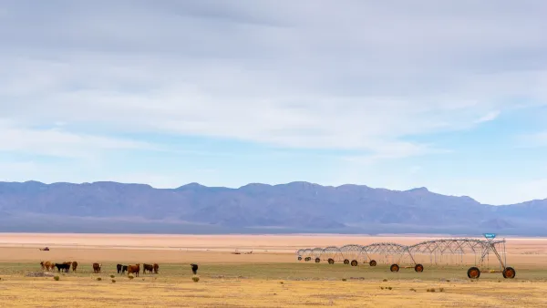
Arizona Tightens Groundwater Restrictions to Rein in Agribusinesses
The state is creating an ‘active management area’ in the western part of the state, where agribusinesses including a Saudi alfalfa exporter have practically free rein over water supplies.
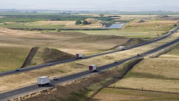
Grant Program Will Pay California Farmers To Repurpose Fallow Land
A new state grant program will help California farmers convert idle land to new purposes in an effort to mitigate the environmental and economic effects of drought on the state's Central Valley.
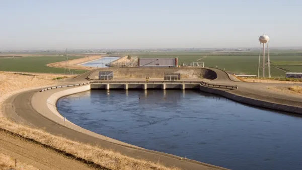
California Water Plan Foretells Tension Between Cities, Farmers
Recognizing the ongoing drought's severity, Sacramento is set to adopt a new statewide conservation plan. But some say the regulations don't place enough pressure on California's agricultural sector.

Planetizen Federal Action Tracker
A weekly monitor of how Trump’s orders and actions are impacting planners and planning in America.

Eastern Nebraska is running out of electricity
Data centers and electrification are straining eastern Nebraska’s grid, throttling economic development.
Move over, LA: St. Louis gears up for Olympics, invests millions in downtown redevelopment
The Missouri city will host the 2028 Olympic soccer group stage and knockout matches.

Dallas releases zoning code overhaul to officials
The drafted overhaul is over 400 pages long.

NYC renovations for dangerous, ‘mercilessly crammed’ street delayed until 2027
Construction was supposed to begin this fall.

San Diego’s Midway Rising project gets greenlight from city council
The project looks to become the largest affordable housing development in California's history.

FREE Course: Walkable City 1: Why Walkability?
After describing his path towards focusing on walkability as the essence of good planning, Jeff Speck marches through his five principal reasons for making more walkable places.
Reinventing Malls: Planning Alchemy—Turning Gray Fields Into Gold
The course focuses on the opportunities and imperatives that shape reinvention of mall sites.

City of Rosemead
Rutgers University, Edward J. Bloustein School of Planning and Public Policy
One Hundred Miles
University of Michigan School for Environment and Sustainability (SEAS)
Hunter College, City University of New York (CUNY)
The Architects Foundation
City of Cambridge
The Pocatello Development Authority
The Urban Renewal Agency of the City of Pocatello