In a report detailing three decades of growth in the SF Bay Area, an urban think tank details how commercial growth has been disproportionately in the non-transit accessible suburban office parks. However, SF shares the blame. Solutions are offered.


"San Francisco lagged the region's suburbs in job growth over the last three decades, forcing increasing numbers of commuters to pack highways instead of public transportation even as the dangers of greenhouse gas emissions become increasingly evident, according to "Recentering Work: The Future of Transit-Oriented Jobs in Downtown San Francisco," released by the San Francisco Planning and Urban Research Association."
"When we look at the last 30 years of Bay Area history, it's been a history of increasing commutes by cars, employment spread out and decentralized over a wider and wider area, and a decline of our central cities as a share of all jobs," said Egon Terplan, SPUR policy director and the report's principal author. "We cannot meet regional climate change goals unless we change that pattern."
"But some of the proposals (SPUR offers) are certain to spark controversy, as they directly conflict with recently adopted neighborhood plans and long-standing attitudes toward development in the city.
Most notably, the study suggested easing density and height restrictions in the core downtown area.
"SPUR is way wrong," said Calvin Welch, a longtime San Francisco affordable housing activist, who said developers haven't used the full office allocations."
The nine-county Bay Area doubled its employment since 1970, but San Francisco only accounted for around 4 percent of the growth, according to the SPUR study. In contrast, Santa Clara, Alameda and Contra Costa counties captured 37 percent, 20 percent and 15 percent of the new jobs, respectively."
Read the full story: Suburban job growth imperils emission goals
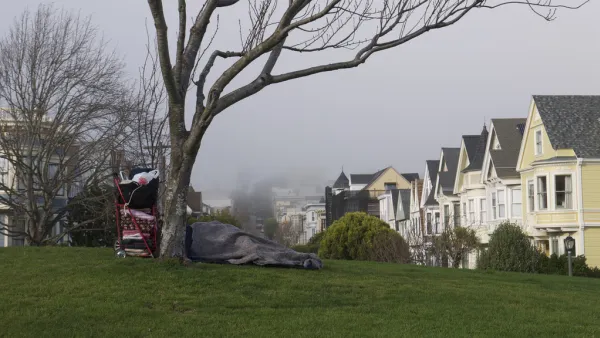
Will More Money Solve San Francisco's Homelessness Problem?
San Francisco voters will decide on Proposition C, a business tax based on gross receipts levied on large employers, the most contentious of five local measures.
Gabriel Metcalf Reflects On 20 Years Of Change In Bay Area
For over 20 years, few people have understood or influenced the Bay Area like Gabriel Metcalf, president of San Francisco Planning and Urban Research. Metcalf recently announced a move to Sydney, Australia, and reflected the past two decades.

YIMBYs Attacked from the (Far) Left
Pro-housing activists in San Francisco are blamed for displacement of vulnerable communities because they support luxury housing developments. A report from the independent progressive website, Truthout, ties YIMBYs to the "alt-right."

Planetizen Federal Action Tracker
A weekly monitor of how Trump’s orders and actions are impacting planners and planning in America.

Eastern Nebraska is running out of electricity
Data centers and electrification are straining eastern Nebraska’s grid, throttling economic development.

Study reveals best places in the U.S. for cycling, walking
New research from Streetlight Data examines bicycle and pedestrian miles per capita in the 100 largest U.S. cities by population.

DSA members accuse Mamdani of 'abandoning values' over housing redevelopment
New York City's mayor plans to replace about 2,000 units of public housing with private, mixed-income housing.

All sides of BRT debate unhappy with CDOT’s most recent move
The Colorado Department of Transportation is no longer considering center-running bus lanes for Colorado Boulevard.

Massachusetts bogs generate both power, and cranberries
Putting solar panels above farmland is one way Massachusetts is advancing toward its goal of net-zero carbon emissions by 2050.

FREE Course: Walkable City 1: Why Walkability?
After describing his path towards focusing on walkability as the essence of good planning, Jeff Speck marches through his five principal reasons for making more walkable places.
Reinventing Malls: Planning Alchemy—Turning Gray Fields Into Gold
The course focuses on the opportunities and imperatives that shape reinvention of mall sites.

City of Rosemead
Rutgers University, Edward J. Bloustein School of Planning and Public Policy
One Hundred Miles
University of Michigan School for Environment and Sustainability (SEAS)
Hunter College, City University of New York (CUNY)
The Architects Foundation
City of Cambridge
The Pocatello Development Authority
The Urban Renewal Agency of the City of Pocatello