The connection between land use and health comes clear in Portland, OR, where some of the poorest citizens face a four-hour round trip to the grocery store.


"When getting to market takes this much effort, epidemiologists consider it a threat to our collective health. Where we live determines where we buy food, which influences what we eat, factors into whether we're fat and can seal whether, someday, we get diabetes or have a heart attack.
Low-income and minority families, prone to obesity and dietary-related diseases, are also more likely to live in communities where nutritious food is hard to come by, the Robert Wood Johnson Foundation reports. These are otherwise known as "food deserts." Nationally, the typical low-income neighborhood has 30 percent fewer supermarkets than higher-income neighborhoods.
Parts of outer Northeast Portland popped out as having particularly poor access to food when the Coalition for a Livable Future analyzed grocery store locations using 2004 data.
'You have people literally living off of Plaid Pantries [a local convenience store],' says Brendan Finn, chief of staff to Portland City Commissioner Dan Saltzman, who oversees the Office of Sustainable Development."
Read the full story: Portland's low-income neighborhoods are city's 'food deserts'

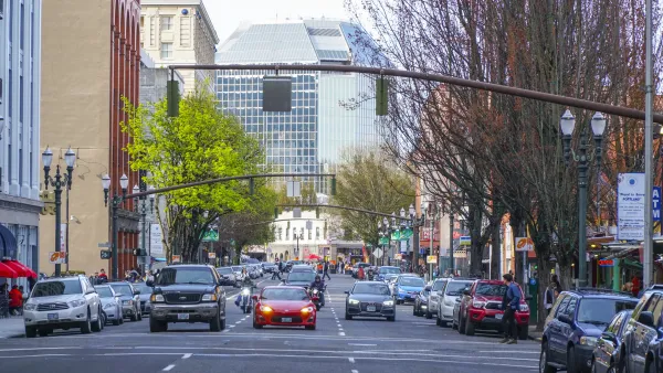
In two U.S. cities, new technology is rewarding slower driving with a quicker commute
Albuquerque, New Mexico and Portland, Oregon have introduced traffic lights that are red by default, and turn green faster if drivers approach while going at or below the speed limit.
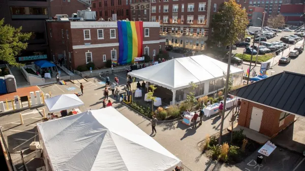
Portland unveils Maine’s first affordable housing complex for LGBTQ+ seniors
The building earmarks 11 units for people with disabilities or living with HIV/AIDS.
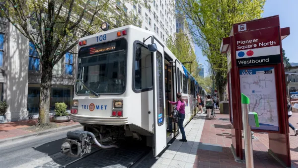
TriMet will eliminate 'Hand-to-Hand' paratransit service for half of its users
Roughly 300 Portland-area paratransit riders will lose access to a program that lets drivers escort them into their destination.

Planetizen Federal Action Tracker
A weekly monitor of how Trump’s orders and actions are impacting planners and planning in America.

The state-sanctioned urbicide of Austin
People don’t kill cities. Freeways do.

US to reduce Colorado River water deliveries to Mexico
A new Colorado Treaty amendment reduces Mexico’s Colorado River water allocation by 250,000 acre feet.

Nation's most wind-powered state turns to coal as data centers increase energy demand
For the first time in decades, Iowa has increased its generation of coal power.

NYC cools commuters with city's first rain garden above a bus stop
New York City officials say the plants in the rain garden can absorb 16 gallons of rainwater during heavy storms.

Brightline West’s future may rely on $6 billion federal loan
The company has until Nov. 2 to make a $400 million equity investment into its proposed high-speed rail line.

FREE Course: Walkable City 1: Why Walkability?
After describing his path towards focusing on walkability as the essence of good planning, Jeff Speck marches through his five principal reasons for making more walkable places.
Reinventing Malls: Planning Alchemy—Turning Gray Fields Into Gold
The course focuses on the opportunities and imperatives that shape reinvention of mall sites.

Eagle County Government
Harvard University Graduate School of Design
Nashville Planning Department
The Architects Foundation
University of Cincinnati Online
The Pocatello Development Authority
The Urban Renewal Agency of the City of Pocatello
Journal of the American Planning Association