


New York's Chinatown is a popular place for filming, which brings a lot of film crews to the neighborhood. A temporary film crew parking ban has been put in place, but the results are mixed.
"A month ago, a local community leader finally came up with a plan intended to remedy the situation. Justin Yu, president of the Chinese Consolidated Benevolent Association, presented the Mayor's Office of Film, Theater and Broadcasting, the agency that regulates filming in the city, with a map of Chinatown and suggested that the streets he had highlighted be deemed a "no go" zone for film crew parking."
"His effort succeeded. For 60 days starting on July 1, the city has forbidden vehicles for film productions to park in a several-block area bounded by Canal Street, Worth Street, Baxter Street and East Broadway."
"The first casualty of the new policy was "Brooklyn's Finest," a crime drama starring Richard Gere. Mr. Gere had planned to film in Chinatown in mid-July, but the shoot was canceled because the production crew couldn't park on Doyers Street."
"For Gine Lui, the location supervisor of "Brooklyn's Finest," the ban on parking represents a ban on all film activity. 'It's no different from a ban on shooting,' Ms. Lui said, 'because there is no way we can shoot without the service trucks parking nearby.'"
"By contrast, some local merchants are delighted with the ban."
FULL STORY: For Better (and Worse), the Film Crews Depart


Watch: How to Remove Thousands of Parking Spaces
What the city of Amsterdam will gain by removing cars from on-street parking space.
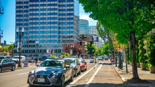
Portland Raises Parking Fees to Pay for Street Maintenance
The city is struggling to bridge a massive budget gap at the Bureau of Transportation, which largely depleted its reserves during the Civd-19 pandemic.
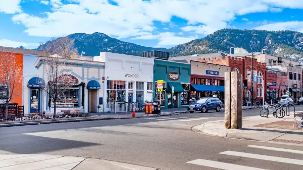
Boulder Eliminates Parking Minimums Citywide
Officials estimate the cost of building a single underground parking space at up to $100,000.

Maui's Vacation Rental Debate Turns Ugly
Verbal attacks, misinformation campaigns and fistfights plague a high-stakes debate to convert thousands of vacation rentals into long-term housing.

Planetizen Federal Action Tracker
A weekly monitor of how Trump’s orders and actions are impacting planners and planning in America.

Chicago’s Ghost Rails
Just beneath the surface of the modern city lie the remnants of its expansive early 20th-century streetcar system.

Bend, Oregon Zoning Reforms Prioritize Small-Scale Housing
The city altered its zoning code to allow multi-family housing and eliminated parking mandates citywide.

Amtrak Cutting Jobs, Funding to High-Speed Rail
The agency plans to cut 10 percent of its workforce and has confirmed it will not fund new high-speed rail projects.

LA Denies Basic Services to Unhoused Residents
The city has repeatedly failed to respond to requests for trash pickup at encampment sites, and eliminated a program that provided mobile showers and toilets.
Urban Design for Planners 1: Software Tools
This six-course series explores essential urban design concepts using open source software and equips planners with the tools they need to participate fully in the urban design process.
Planning for Universal Design
Learn the tools for implementing Universal Design in planning regulations.
planning NEXT
Appalachian Highlands Housing Partners
Mpact (founded as Rail~Volution)
City of Camden Redevelopment Agency
City of Astoria
City of Portland
City of Laramie