


A new online visual mapping tool enables users to virtually tour places from a pedestrian's perspective online.
"Everyscape, a startup based in Waltham, MA, is getting in on the rush to create a virtual version of the real world. Although the site will launch this fall under the shadow of mapping giant Google Earth, Everyscape's cofounders say that users will find the company's look and feel quite different."
"Everyscape's demo opens in the middle of San Francisco's Union Square, below the Dewey Monument. Users can choose the auto-drive mode, which gives a virtual tour of the area's sights and shops, or they can explore on their own. Auto drive orients a user by showing her the general layout of Union Square before taking her into Harry Dentin's Starlight Lounge and bringing her out again for a dizzy, swirling look at the night sky above the Dewey Monument."
"The site is designed to give a full immersive experience. A user should be able to tour Union Square virtually, CEO Jim Schoonmaker says, and then feel comfortable navigating it in real life."
"In Everyscape, building interiors are constructed the same way as the rest of the environment: by stitching together a series of panoramic photographs taken by company photographers or contributed by users. Within each photograph, a user can swivel through a full sphere of motion. To move users from within one panoramic photograph to the next, Everyscape's servers estimate the locations of the cameras in each photograph and use that information to build sparse 3-D geometry that forms the building blocks for an animated 3-D transition."
FULL STORY: A New Perspective on the Virtual World


Planetizen Federal Action Tracker
A weekly monitor of how Trump’s orders and actions are impacting planners and planning in America.

Vehicle-related Deaths Drop 29% in Richmond, VA
The seventh year of the city's Vision Zero strategy also cut the number of people killed in alcohol-related crashes by half.
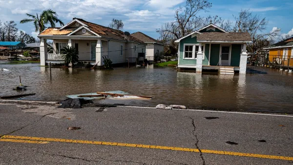
As Trump Phases Out FEMA, Is It Time to Flee the Floodplains?
With less federal funding available for disaster relief efforts, the need to relocate at-risk communities is more urgent than ever.

US Forest Service Could Open Millions of Roadless Acres to Logging
The USDA indicated it plans to repeal the ‘Roadless Rule,’ a Clinton-era regulation that prevents new road-building in undeveloped federal forest areas.

Judge Reverses Federal Funding Freeze for EV Infrastructure
A federal judge ordered the Trump administration to release funding for the National Electric Vehicle Infrastructure Program, a $5 billion program aimed at improving charging infrastructure.

Santa Monica May Raise Parking Permit Fees
The city says the changes would help better manage curb space and support its sustainability goals.
Urban Design for Planners 1: Software Tools
This six-course series explores essential urban design concepts using open source software and equips planners with the tools they need to participate fully in the urban design process.
Planning for Universal Design
Learn the tools for implementing Universal Design in planning regulations.
JM Goldson LLC
Custer County Colorado
Sarasota County Government
City of Camden Redevelopment Agency
City of Astoria
Transportation Research & Education Center (TREC) at Portland State University
Camden Redevelopment Agency
City of Claremont
Municipality of Princeton (NJ)