An analysis of 142 U.S. cities reveals the economic potential of land used for highways.


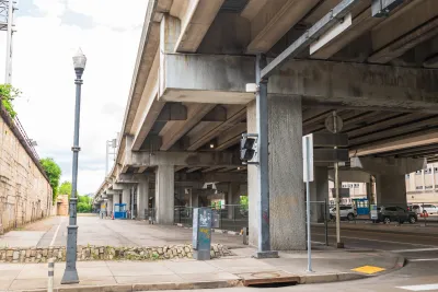
A report titled the Atlas of Inner-City Highway Impacts by urban planner Patrick Kennedy analyzes how much land in the U.S. is taken up by urban highways — and how much more productive the same land could be if designated for other uses.
In a piece for Bloomberg CityLab, Benjamin Schneider describes the report’s findings. “Looking at a three-mile radius from the downtowns of 142 US cities, Kennedy found that roughly 66,000 acres are consumed by highways — land representing an untapped development potential of more than half a trillion dollars, he calculates.” That land equates to roughly $5.2 billion in foregone annual property taxes, Schneider adds.
The report also ranks cities based on how much land near their downtowns is dedicated to freeways. Newark, New Jersey tops the list, with 1,121 acres devoted to highways. Houston, Columbus, Los Angeles, and San Jose round out the top five.
To assess development potential, Kennedy looked at the value of recently completed development projects in each city’s downtown, then applied that potential value to some of the land used by highways (Kennedy assumes roughly 55 percent of land would be used for private development while the rest would become streets, parks, or other public amenities).
While large cities could gain the most from highway removals in terms of sheer dollars, smaller cities would reap proportionally larger benefits: “In Youngstown, Ohio, for example, property tax revenues would jump by almost 70% if it redeveloped its downtown highways, according to Kennedy; the Michigan city of Flint would collect an extra 50%.”
Kennedy says his report is a long-overdue follow-up to the 1960 Bragdon Report, which questioned the benefits of the newly created Interstate Highway Act. “His next project is to use this data to list the most promising freeways for removal across both economic and transportation metrics.”
FULL STORY: Adding Up What Urban Highways Really Cost

New Tool Uncovers Exact Costs of Downtown Highways
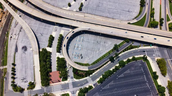
A new research tool can help cities calculate the economic potential that could be unlocked by replacing highways with other uses.
Disconnecting Communities: Measuring the Social Impacts of Freeways
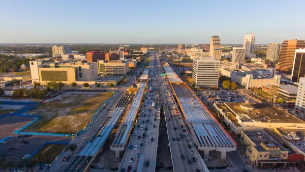
Research from 50 major U.S. cities shows social connections are weakest in neighborhoods where highways are present.
Reconnecting Communities Grant Round Offers $600M for Highway Mitigation Projects
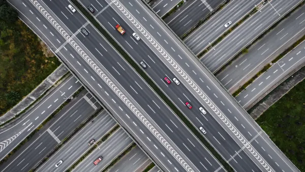
The program is part of the 2021 infrastructure law and calls for improving access in communities disadvantaged by freeways.

Planetizen Federal Action Tracker
A weekly monitor of how Trump’s orders and actions are impacting planners and planning in America.

The state-sanctioned urbicide of Austin
People don’t kill cities. Freeways do.

US to reduce Colorado River water deliveries to Mexico
A new Colorado Treaty amendment reduces Mexico’s Colorado River water allocation by 250,000 acre feet.

5 New England states march closer to 800 megawatt wind energy project
Securing federal approval for the project may be complicated under the Trump administration, which has historically been hostile towards domestic wind power.

Baltimore to break ground on $50 million Transit Priority Project
The project will bring faster bus trips, safer streets and better bike connections to Baltimore.

Airbnb launches $250 million 'last-dollar financing' housing accelerator, makes first investment in Austin
The company will put $6.4 million towards affordable housing development in Texas’ capital.

FREE Course: Walkable City 1: Why Walkability?
After describing his path towards focusing on walkability as the essence of good planning, Jeff Speck marches through his five principal reasons for making more walkable places.
Reinventing Malls: Planning Alchemy—Turning Gray Fields Into Gold
The course focuses on the opportunities and imperatives that shape reinvention of mall sites.

Eagle County Government
Harvard University Graduate School of Design
Nashville Planning Department
The Architects Foundation
University of Cincinnati Online
The Pocatello Development Authority
The Urban Renewal Agency of the City of Pocatello
Journal of the American Planning Association