A new research tool can help cities calculate the economic potential that could be unlocked by replacing highways with other uses.


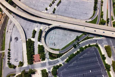
A Dallas-based planner is mapping the costs of downtown highways in American cities, analyzing the redevelopment potential of the land used by roadways if it was devote to other uses.
As Kea Wilson explains in Streetsblog USA, Patrick Kennedy’s research uncovers the collective costs of highways in dozens of cities, showing how “by tearing highways out of their innermost downtown cores or converting them to boulevards, cities can unlock billions of dollars of redevelopment potential, increase badly-needed property tax revenues, and reduce individual households' commute costs, often to the tune of tens of thousands of dollars per household per year, at least when the costs of maintaining shared infrastructure are added to the costs of owning and maintaining a personal vehicle.”
Kennedy calculated the total acreage sacrificed to highway uses, eliminating land that would be tax exempt for uses such as schools, and calculating the property tax potential for the remaining space. “In Chicago, for instance, reimagining those right-of-ways could open up nearly $8.3 billion in redevelopment potential within three miles of the Windy City's epicenter; in Boston, it's $16.3 billion.”
Kennedy hopes advocates can use the tool he is creating to show the concrete financial impact of highway expansions and illustrate a different, less auto-centric path forward.
FULL STORY: Find Out Exactly How Much Downtown Highways Cost Your City

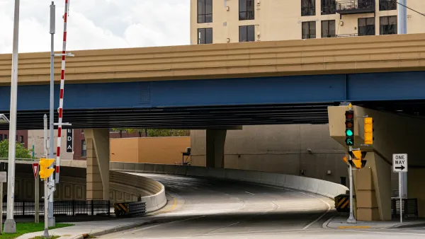
Milwaukee mayor abandons highway removal plan
Mayor Johnson spoke in opposition to a proposed plan to turn part of I-794 into an at-grade boulevard, expressing concerns about traffic.
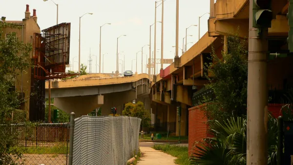
How Federal Funds Can Benefit Freeway Removal Projects
The recently passed infrastructure bill dedicates $1 billion to freeway removal and capping, but the sum is only a 'first step' toward redressing the injustices perpetuated by urban highway projects.
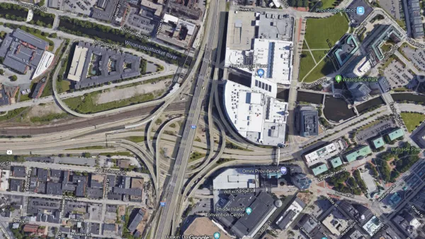
The Foundational Myth of America's Interstate Highway System
The erroneous belief that the negative impacts of interstate highways are simply "unintended consequences" fails to demand accountability for the project's failures.

Planetizen Federal Action Tracker
A weekly monitor of how Trump’s orders and actions are impacting planners and planning in America.

The state-sanctioned urbicide of Austin
People don’t kill cities. Freeways do.

US to reduce Colorado River water deliveries to Mexico
A new Colorado Treaty amendment reduces Mexico’s Colorado River water allocation by 250,000 acre feet.

Amtrak not solely to blame for New Jersey commuter rail's unreliability, report finds
A new study from the Garden State initiative found that NJ Transit’s budget grew 20% across a 4 year period, but reliability declined significantly over the same period.

EPA erases limits on planet-warming pollution from power plants
Under Monday’s plan, power plants would still have some limits on how much mercury, arsenic and other contaminants they can emit.

Phoenix announces new on-demand transit service, more frequent RAPID buses
Both new services will launch in October, and are part of Phoenix's Project Effective Access Solutions for Easing Congestion.

FREE Course: Walkable City 1: Why Walkability?
After describing his path towards focusing on walkability as the essence of good planning, Jeff Speck marches through his five principal reasons for making more walkable places.
Reinventing Malls: Planning Alchemy—Turning Gray Fields Into Gold
The course focuses on the opportunities and imperatives that shape reinvention of mall sites.

Eagle County Government
Harvard University Graduate School of Design
Nashville Planning Department
The Architects Foundation
University of Cincinnati Online
The Pocatello Development Authority
The Urban Renewal Agency of the City of Pocatello
Journal of the American Planning Association