


Speeding violations plummeted after automated enforcement cameras were installed along Roosevelt Boulevard.
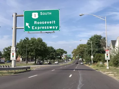
After Pennsylvania legalized speed cameras in 2018, “there was a substantial and statistically significant reduction in fatalities and crashes,” reveals a new study from the University of Pennsylvania.
As Maylin Tu explains in Next City, “Starting in June 2020, the city of Philadelphia placed cameras at eight locations and issued warnings to vehicles going 11 miles or more over the speed limit. After a 60-day grace period, speeding vehicles were fined.” The Philadelphia Parking Authority found a 90 percent reduction in speeding violations along the sections of Roosevelt Boulevard where the cameras were installed.
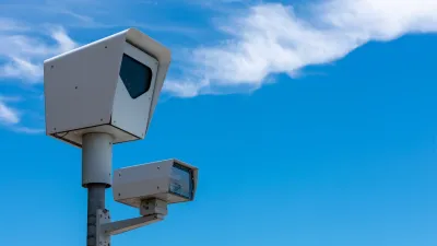
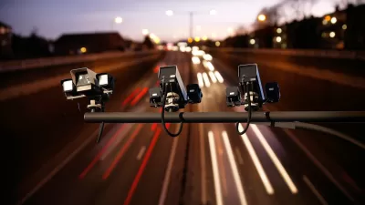
Speed cameras, sometimes known as automated traffic enforcement, are a controversial tool that some safety advocates say saves lives but which critics say disproportionately targets minority and low-income drivers and can be a ‘cash grab’ for cities rather than a true safety effort. “According to traffic safety advocates, it’s important for money to be reinvested directly into the community where the speed cameras are located. In the case of the pilot, the money is going to fund traffic safety projects, including $12 million to improve Roosevelt Boulevard by adding curb extensions and permeable pavement, among other upgrades.”
FULL STORY: Pennsylvania Legalized Speed Cameras. You Won’t Believe What Happened Next.

Data Shows Chicago Speed Cameras Reduce Speeding, Crashes
Countering claims made by the Chicago Tribune that automated enforcement doesn’t improve safety, Streetsblog Chicago lays out the data showing how traffic safety fared in camera zones.
States Have Mixed Feelings on Speed Cameras
While some states and cities are embracing automated traffic enforcement as a tool for improving road safety, others are banning the technology over concerns that the programs are designed for profit rather than public benefit.
Philadelphia to Add New Speed Cameras
Speeding violations on streets with automated traffic enforcement are down by 95 percent, according to city officials.

Montreal Mall to Become 6,000 Housing Units
Place Versailles will be transformed into a mixed-use complex over the next 25 years.

Planetizen Federal Action Tracker
A weekly monitor of how Trump’s orders and actions are impacting planners and planning in America.

DARTSpace Platform Streamlines Dallas TOD Application Process
The Dallas transit agency hopes a shorter permitting timeline will boost transit-oriented development around rail stations.

Study: 4% of Truckers Lack a Valid Commercial License
Over 56% of inspected trucks had other violations.

Chicago Judge Orders Thousands of Accessible Ped Signals
Only 3% of the city's crossing signals are currently accessible to blind pedestrians.

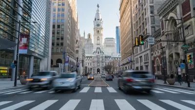
Philadelphia Swaps Car Lanes for Bikeways in Unanimous Vote
The project will transform one of the handful of streets responsible for 80% of the city’s major crashes.
Urban Design for Planners 1: Software Tools
This six-course series explores essential urban design concepts using open source software and equips planners with the tools they need to participate fully in the urban design process.
Planning for Universal Design
Learn the tools for implementing Universal Design in planning regulations.
City of Mt Shasta
City of Camden Redevelopment Agency
City of Astoria
Transportation Research & Education Center (TREC) at Portland State University
US High Speed Rail Association
City of Camden Redevelopment Agency
Municipality of Princeton (NJ)