The tool will allow local planners to evaluate impacts of flooding and prioritize projects with the biggest return on investment.


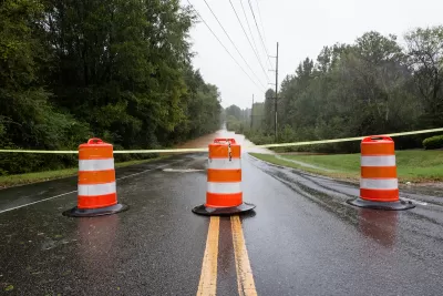
The tool will allow local planners to evaluate impacts of flooding and prioritize projects with the biggest return on investment.
The North Carolina Department of Environmental Quality (DEQ) is developing a new online tool to help inform future flood planning. The “Flood Resiliency Blueprint” will compile research and data about flooding in the state to provide a framework that local officials can use to guide adaptation and mitigation efforts, says a Governing article by Adam Wagner.
In the face of more frequent, intensifying rain events, the goal is to help local governments more easily identify projects that will have measurable outcomes for their communities so they can take swift action. “Officials will be able to home in on the area where the project is proposed and see exactly how many people, homes, roads and community assets the project will protect,” Wagner writes.
The tool is designed so anyone can use it and will use two-dimensional modeling that allows planners to evaluate the impacts of flooding from rivers and heavy rain events. “To make sure we know what the projects with the best return on investment are, we are developing a standardized methodology to analyze flood risk and prioritize flood mitigation strategies across the state. We are ensuring that decision makers at all levels will be able to identify and select which strategies are most impactful where they are,” DEQ Secretary Elizabeth Biser told Governing.
The North Carolina legislature allocated a total of $20 million for the project, which includes developing and building the flood blueprint tool, as well as six river basin-specific action strategies. Another $96 million has been allocated to fund the construction of projects identified in those river-basin planning documents.
Some state legislators expressed concerns that the blueprint would be used by DEQ to tell local governments which actions they can and cannot take. Biser assured them that, apart from how the $96 million is spent, the state will not be the decision-making entity on local projects.
Beta testing for the tool is slated for mid-April and launch is expected in December.
Read the full story: North Carolina Is Spending Millions on a Flood Blueprint

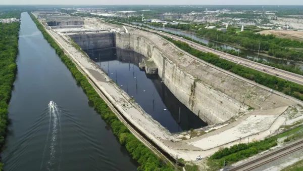
Chicago's underground flood control system is almost full
The system known as Deep Tunnel has never filled much more than halfway, but the cumulative effect of recent rains is putting suburban communities at risk of flooding.

New York Needs Permeable Streets to Mitigate Future Flooding
To reduce the severity of disruptive subway flooding, the city can implement street-level solutions that absorb and redirect water before it reaches the train tunnels.

Lessons from Louisiana
We should have seen the historic flooding in the Florida Parishes region of Louisiana coming—both in preparation and in response—says a pair of recent articles.

Planetizen Federal Action Tracker
A weekly monitor of how Trump’s orders and actions are impacting planners and planning in America.

The state-sanctioned urbicide of Austin
People don’t kill cities. Freeways do.

US to reduce Colorado River water deliveries to Mexico
A new Colorado Treaty amendment reduces Mexico’s Colorado River water allocation by 250,000 acre feet.

Nation's most wind-powered state turns to coal as data centers increase energy demand
For the first time in decades, Iowa has increased its generation of coal power.

NYC cools commuters with city's first rain garden above a bus stop
New York City officials say the plants in the rain garden can absorb 16 gallons of rainwater during heavy storms.

Brightline West’s future may rely on $6 billion federal loan
The company has until Nov. 2 to make a $400 million equity investment into its proposed high-speed rail line.

FREE Course: Walkable City 1: Why Walkability?
After describing his path towards focusing on walkability as the essence of good planning, Jeff Speck marches through his five principal reasons for making more walkable places.
Reinventing Malls: Planning Alchemy—Turning Gray Fields Into Gold
The course focuses on the opportunities and imperatives that shape reinvention of mall sites.

Greater Baltimore Committee
Eagle County Government
Harvard University Graduate School of Design
The Architects Foundation
University of Cincinnati Online
The Pocatello Development Authority
The Urban Renewal Agency of the City of Pocatello
Journal of the American Planning Association