The study will assess alignment options for a 13-mile segment of the greenway.


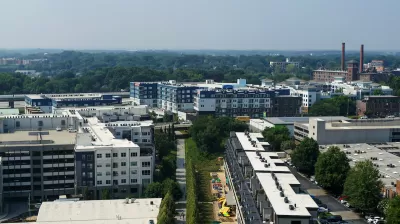
Atlanta BeltLine Inc. has launched a two-year study to assess the potential for transit options and station locations that would serve over 13 miles of the 22-mile urban trail, reports Josh Green in Urbanize Atlanta. The study will be conducted by engineering firm Kimley-Horn & Associates. According to BeltLine president and CEO Clyde Higgs, transit is a keypart of the project’s mission. “The BeltLine is about high-quality ways to connect people to jobs, healthcare, shopping, education, and opportunity while making Atlanta a more mobile city”
Green adds, “The goal of the study is to determine the preferred alignment for BeltLine transit—and to pinpoint the best locations for stations—in a section near the BeltLine called the northwest quadrant, stretching from the Westside near MARTA's Bankhead station up to southern Buckhead.”
The study is tasked with focusing specifically on connecting the growing regional trails network and transit system and making the BeltLine more accessible to more residents. “Kimley-Horn’s work is expected to cover field investigation for new transit, consolidation of previous studies, ridership forecasting, financial planning, environmental screening, stakeholder and public outreach, and equity considerations, among other aspects.”
Read the full story: BeltLine launches study for nearly 14 miles of transit around loop


As Projected Beltline Costs Rise, Atlanta Considers Other Options
MARTA's light rail project could cost more than twice original estimates, prompting the agency to weigh different routes and the potential for bus rapid transit as an alternative to rail.
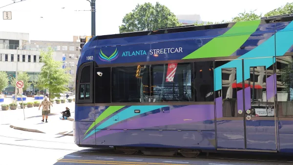
Atlanta Changes Beltline Rail Plan
City officials say they are committed to building rail connections, but are nixing a prior plan to extend the streetcar network.
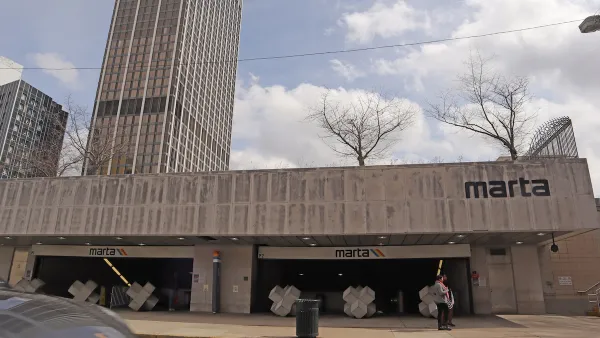
Atlanta Announces Four New MARTA Stations
The city’s Beltline will gain a new connection to heavy rail.

Planetizen Federal Action Tracker
A weekly monitor of how Trump’s orders and actions are impacting planners and planning in America.

California plans to bury El Niño’s downpour
If the state plays its cards right, it may be able to store a billion acre-feet of El Niño’s water in aquifers.

Chicago breaks ground on $3 billion megadevelopment
The new neighborhood, titled Foundry Park, will one day host 3,700 residences.

Satanic Place Names
From streams and lakes to valleys and canyons, I mapped more than 1,000 places named after the Devil.

California High-Speed Rail Authority CEO resigns after $600,000 scandal
Under Ian Choudri, the authority used taxpayer dollars to fund first class flights and trips to nightclubs.

Want to study the Missouri River? Soon, you may need unanimous approval from 10 states
Legislation would require 10 governors’ permission to study or build projects moving water outside the basin.

FREE Course: Walkable City 1: Why Walkability?
After describing his path towards focusing on walkability as the essence of good planning, Jeff Speck marches through his five principal reasons for making more walkable places.
Reinventing Malls: Planning Alchemy—Turning Gray Fields Into Gold
The course focuses on the opportunities and imperatives that shape reinvention of mall sites.

City of Rosemead
Rutgers University, Edward J. Bloustein School of Planning and Public Policy
One Hundred Miles
Hunter College, City University of New York (CUNY)
The Architects Foundation
University of Cincinnati Online
City of Cambridge
Montrose County
The Pocatello Development Authority