Chicago has its first “comprehensive plan” since the 1960s, but without a land use map, the “We Will Chicago” plan is devoted more to laying out the issues and challenges facing the city than setting new policies.



The Chicago Plan Commission unanimously approved the “We Will Chicago” plan on February 16, marking the city’s first comprehensive planning effort since the 1960s. The document is not as robust as traditional comprehensive plans, however, and is described by the Chicago Plan Commission as a “framework plan.”
David Roeder broke the news of the new plan for the Chicago Sun-Times, describing some of the features of the new plan while also noting the document’s limitations. So, for example, the plan “follows overarching themes of equity and resilience and seeks to address discriminatory practices of the past that harmed largely minority neighborhoods and pushed some middle-class residents out of Chicago.”
“The plan highlights data showing the impact of redlining in mortgage loans, the differences in wealth and health across neighborhoods and the preponderance of pollution in poor areas, among other measurements that distinguish the haves from the have-nots,” adds Roeder.
In all, the plan speaks to eight “pillars”: 1) arts and culture; 2) civic and community engagement; 3) economic development; 4) environment, climate and energy; 5) housing and neighborhoods; 6) lifelong learning; 7) public health and safety; and 8) transportation and infrastructure. A land use map, found in the typical comprehensive plan, is not included.
Chicago Mayor Lori Lightfoot championed the plan, according to Roeder, and the commission adopts the document during a hotly contested mayoral election. Members of the Chicago Plan Commission caution that the framework will leave questions of specific policymaking and implementation to future administrations.
FULL STORY: ‘We Will Chicago’ plan adopted to guide city’s next decade

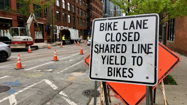
A Traffic Safety Commitment for Chicago's West Side
Transportation planning will take on a much more safety-oriented focus according to the West Side Vision Zero Traffic Safety Plan announced last week.
Maurice Cox Departs Detroit to Lead Planning Chicago
The highly praised head of planning in Detroit will assume the same role in Chicago.

Draft Comprehensive Plan Published for Deschutes County, Oregon
Deschutes County is working on a new comprehensive plan that will chart land use for the Central Oregon county for the next 20 years.

The state-sanctioned urbicide of Austin
People don’t kill cities. Freeways do.

US to reduce Colorado River water deliveries to Mexico
A new Colorado Treaty amendment reduces Mexico’s Colorado River water allocation by 250,000 acre feet.

New Jersey’s second-largest city bans standalone data centers
Jersey City will continue to allow co-location facilities, such as those meant for research institutions that store their own data.

Amtrak not solely to blame for New Jersey commuter rail's unreliability, report finds
A new study from the Garden State Initiative found that NJ Transit’s budget grew 20% across a 4 year period, but reliability declined significantly over the same period.

EPA erases limits on planet-warming pollution from power plants
Under Monday’s plan, power plants would still have some limits on how much mercury, arsenic and other contaminants they can emit.

Phoenix announces new on-demand transit service, more frequent RAPID buses
Both new services will launch in October, and are part of Phoenix's Project Effective Access Solutions for Easing Congestion.

FREE Course: Walkable City 1: Why Walkability?
After describing his path towards focusing on walkability as the essence of good planning, Jeff Speck marches through his five principal reasons for making more walkable places.
Reinventing Malls: Planning Alchemy—Turning Gray Fields Into Gold
The course focuses on the opportunities and imperatives that shape reinvention of mall sites.

Eagle County Government
Harvard University Graduate School of Design
Nashville Planning Department
The Architects Foundation
University of Cincinnati Online
The Pocatello Development Authority
The Urban Renewal Agency of the City of Pocatello
Journal of the American Planning Association