The Greater Cleveland Regional Transit Authority is partnering with local governments and nonprofits to create new transit options for the thousands of workers flocking to the region’s new job centers.


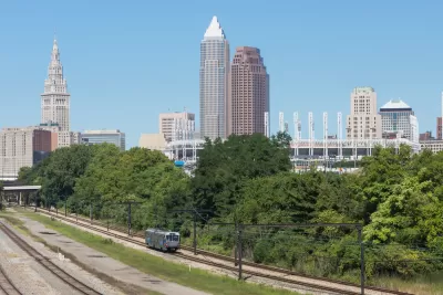
As small towns in northeastern Ohio grow and gain major employment centers that require transportation for growing numbers of workers, “local nonprofits and transit agencies are trying their hand at developing smaller, individual solutions to solve this big problem.”
As Conor Morris reports for WKSU, “The GCRTA [Greater Cleveland Regional Transit Authority] recently redesigned its services to try to improve riders’ connections to work, but there’s only so much that traditional fixed routes can do to get people to every single job center out there. Because of that, Maribeth Feke, director of programming and planning for GCRTA, said her agency is piloting a new ‘micro mobility’ program called ConnectWorkS that could serve as a model for future efforts to get people to jobs at industrial centers through public transit.”
ConnectWorkS has two major components. The first is a “partnership with the village of Mayfield and the city of Highland Heights to provide a new bus route that connects the end of the #7A RTA bus line to a new bus loop” and will serve an estimated 12,000 workers. “The other part of the ConnectWorkS pilot involves the GCRTA working with SHARE Mobility, a rideshare service, to provide workers in the Bedford Heights and Solon area with a quick connection to their jobs once they get off public transit.”
According to Morris, “While ConnectWorkS is just getting off the ground, Feke said she was excited about its potential. Between the two pilots, the GCRTA will be hitting ‘a third of the high job centers’ in the county. She said the point is to address what some advocates call the first- or last-mile issue, where workers can get close to work through public transit, but still face a long walk after they get off the bus or train.”
Read the full story: How Northeast Ohio communities are building small transit solutions to solve big issue of sprawl


Sugar Land Mobility Master Plan Targets Microtransit, Connectivity
The southeast Texas city is responding to community demands for safer, more accessible, and more diverse transportation choices.
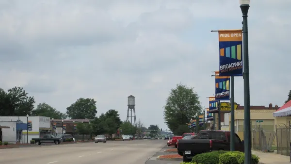
West Memphis to launch new transit system
The city across the Mississippi River from Memphis, Tennessee will soon begin service on its own, on-demand transit system.
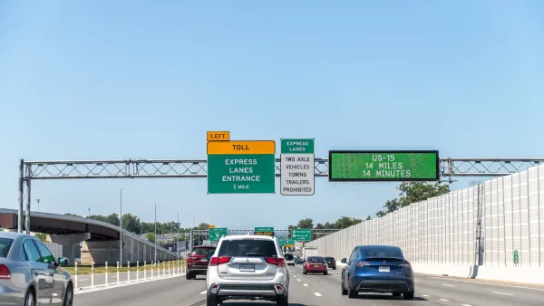
Congestion Costing Reality Check, Part 2: A congestion costing critique
There are good reasons to be skeptical of highway industry claims that traffic congestion is a growing problem. Their analysis is often incomplete and biased. Let’s pull back the curtain on some major congestion cost studies.

Planetizen Federal Action Tracker
A weekly monitor of how Trump’s orders and actions are impacting planners and planning in America.

California plans to bury El Niño’s downpour
If the state plays its cards right, it may be able to store a billion acre-feet of El Niño’s water in aquifers.

Desperate measures: Advocates weigh draining Lake Powell to fill Colorado River
Draining the reservoir could reduce evaporation losses by a couple hundred thousand acre-feet.

California city breaks ground on transit connector
The project includes three mobility hubs and a pedestrian bridge.

After public outcry, Massachusetts city releases housing development tracker
Cambridge’s tracker currently shows 250 housing projects in various stages of development.

40 years after approval, Chicago breaks ground on new park
The park honors Jean Baptiste Point du Sable, the city’s first permanent non-native settler.

FREE Course: Walkable City 1: Why Walkability?
After describing his path towards focusing on walkability as the essence of good planning, Jeff Speck marches through his five principal reasons for making more walkable places.
Reinventing Malls: Planning Alchemy—Turning Gray Fields Into Gold
The course focuses on the opportunities and imperatives that shape reinvention of mall sites.

City of Rosemead
Rutgers University, Edward J. Bloustein School of Planning and Public Policy
One Hundred Miles
Hunter College, City University of New York (CUNY)
The Architects Foundation
University of Cincinnati Online
City of Cambridge
Montrose County
The Pocatello Development Authority