As part of #BlackFridayParking week, a crowd-sourced map tracks the growth of the parking reform movement in U.S. cities.


A crowd-sourced map from Strong Towns and the Parking Reform Network visualizes which U.S. cities have reduced or eliminated minimum parking requirements, writes Daniel Herriges.
First created in 2015, the map aims to serve as a tool for parking reform advocates who want to find examples and build support for reform in their communities.
Anyone who's lobbied a local elected official knows that the first question they ask is, 'Who else has tried this?' And so we sought to give you a one-stop location to share the (many) answers to that question with each other.
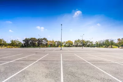
The project is part of Strong Town's #BlackFridayParking week, which highlights "the harm done to our cities by excessive parking—and specifically, by mandatory parking minimums, which require private land owners to provide parking often far in excess of reasonable demand." The waste is particularly evident on so-called 'Black Friday,' when parking lots remain less than full even on the busiest shopping day of the year.
You can view the map and contribute your own knowledge about parking reform programs here.
FULL STORY: Announcing a New and Improved Map of Cities That Have Removed Parking Minimums

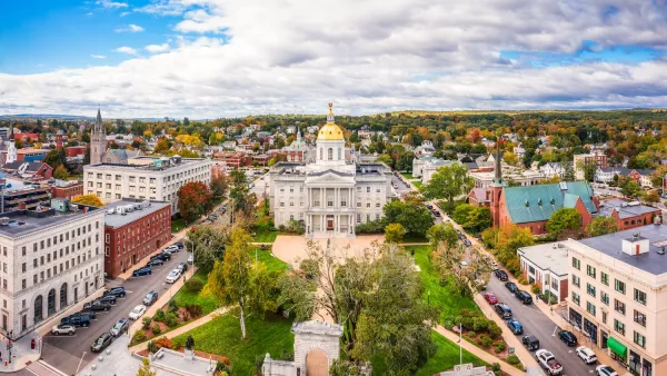
New Hampshire House Passes Parking Reform Bill
The revised bill, which caps parking requirements at one spot per residential unit and eliminates exemptions, will go back to the Senate for a new vote.
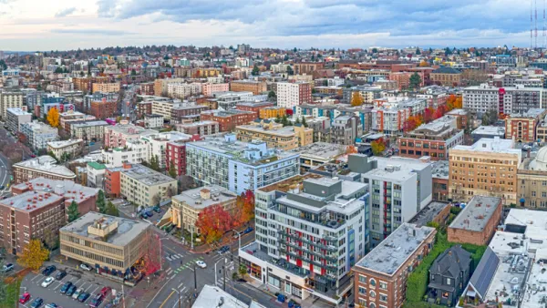
Washington State’s Parking Reform Law Could Unlock ‘Countless’ Acres for New Housing
A law that limits how much parking cities can require for residential amd commercial developments could lead to a construction boom.

Montana Bill Promotes Parking Reform
A bill before the Montana state senate would bar cities from requiring more than one parking spot per new housing unit.

The state-sanctioned urbicide of Austin
People don’t kill cities. Freeways do.

US to reduce Colorado River water deliveries to Mexico
A new Colorado Treaty amendment reduces Mexico’s Colorado River water allocation by 250,000 acre feet.

New Jersey’s second-largest city bans standalone data centers
Jersey City will continue to allow co-location facilities, such as those meant for research institutions that store their own data.

Amtrak not solely to blame for New Jersey commuter rail's unreliability, report finds
A new study from the Garden State Initiative found that NJ Transit’s budget grew 20% across a 4 year period, but reliability declined significantly over the same period.

EPA erases limits on planet-warming pollution from power plants
Under Monday’s plan, power plants would still have some limits on how much mercury, arsenic and other contaminants they can emit.

Phoenix announces new on-demand transit service, more frequent RAPID buses
Both new services will launch in October, and are part of Phoenix's Project Effective Access Solutions for Easing Congestion.

FREE Course: Walkable City 1: Why Walkability?
After describing his path towards focusing on walkability as the essence of good planning, Jeff Speck marches through his five principal reasons for making more walkable places.
Reinventing Malls: Planning Alchemy—Turning Gray Fields Into Gold
The course focuses on the opportunities and imperatives that shape reinvention of mall sites.

Eagle County Government
Harvard University Graduate School of Design
Nashville Planning Department
The Architects Foundation
University of Cincinnati Online
The Pocatello Development Authority
The Urban Renewal Agency of the City of Pocatello
Journal of the American Planning Association