“Stroads,” street-road hybrids that channel high-speed traffic through residential areas, are increasingly common and often deadly for pedestrians.


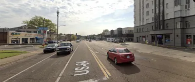
The death of a 16-year-old who was struck by a car on Union Avenue in Memphis, Tennessee highlights “the fatal flaw in America’s road design system,” write Rebecca Cadenhead and Andrew Mollica for the Wall Street Journal. Union Avenue is a “stroad,” a street-road combination that channels high-speed traffic through residential areas. This popular type of road design is often deadly for pedestrians.
Because stroads are wide and straight with multiple lanes, they facilitate speeding and inattentiveness while driving. Their width also usually guarantees they are poorly lit at night, making them dangerous for pedestrians trying to cross. The Sunbelt is now the most dangerous place in the country for pedestrians, where stroads are becoming increasingly common.
Urban sprawl is at least partially to blame for the United States’ stroads: “When you plop 200 houses down 15 miles from the place where people have to work, you have to build big roads where they can drive fast,” Nicholas Ferenchak, an associate professor at the University of New Mexico and the director of the Center for Pedestrian and Bicyclist Safety told the Wall Street Journal.
Read the full story: The Deadly 1.5-Mile Corridor That Shows the Fatal Flaw in America’s Road Design

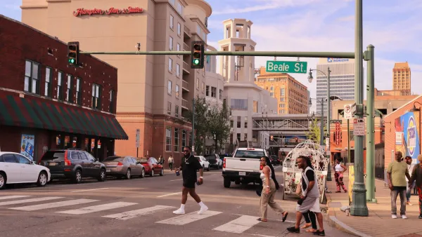
Memphis is the nation's most dangerous city for pedestrians
Memphis had the highest rate of traffic deaths for people walking in the US for two years in a row.
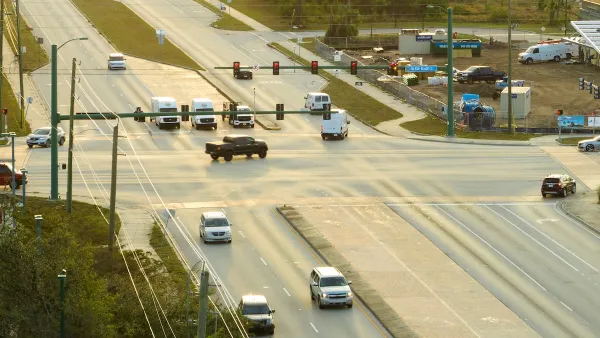
Stroads, High Poverty Are Commonalities Between US Counties with High Pedestrian Death Rates
Three-fourths of counties with the highest pedestrian death rates also had persistently high poverty rates, according to a Stateline article.
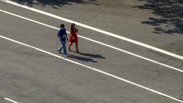
Dangerous By Design: Streets Are Only Getting Less Safe for Pedestrians
The latest edition of the annual report by Smart Growth America and the National Complete Streets Coalition reports more and more death and tragedy on American streets and roads.

Planetizen Federal Action Tracker
A weekly monitor of how Trump’s orders and actions are impacting planners and planning in America.
Data reveals that NYC’s bet on congestion pricing has paid off
After almost two years of the program, reports show positive impacts on traffic and air quality and no disruptions to parking.
Denver is solving homelessness. Why aren't the rest of us?
Since 2023, Denver's street homeless population has decreased by 64%, proving that effective tools exist to support those in need of housing.

The road design trend that's killing Americans
“Stroads,” street-road hybrids that channel high-speed traffic through residential areas, are increasingly common and often deadly for pedestrians.

Chicago's streets are littered with dead birds. Will the city protect them?
Chicago sits in the route of migratory birds traveling south. Its abundance of glass buildings and bright lights make it particularly disorienting for the animals.

CA city to shut down airport, transform it into utopian park
The western side of the 200-acre park will feature a dog park, nature education center and arboretum.

FREE Course: Walkable City 1: Why Walkability?
After describing his path towards focusing on walkability as the essence of good planning, Jeff Speck marches through his five principal reasons for making more walkable places.
Reinventing Malls: Planning Alchemy—Turning Gray Fields Into Gold
The course focuses on the opportunities and imperatives that shape reinvention of mall sites.

City of Rosemead
Rutgers University, Edward J. Bloustein School of Planning and Public Policy
One Hundred Miles
The Architects Foundation
University of Cincinnati Online
Montrose County
Northern Illinois Transit Authority (NITA)
The Pocatello Development Authority