Prior to the busway, buses on the Bx36 route traveled as slowly as 5 miles per hour.


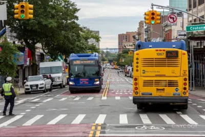
The New York City Department of Transportation has completed the Bronx’s first busway. The project aims to bring faster service to the 39,000 daily commuters who ride on the Bx36 route, where buses have traditionally traveled as slowly as 5 miles per hour, Noah Kolenda writes for Mass Transit.
The communities along the Bx36 are transit-dependent, with 72% of households not owning a private car. The busway will function seven days a week from 6:00 a.m. to 8:00 p.m., and will only be accessible to buses, emergency vehicles, Access-a-Ride vehicles and trucks with six or more wheels.
“The new busway also lays the groundwork for future bus rapid transit along a broader Tremont Avenue corridor. As outlined in the plan, future upgrades will include streetscape improvements, station-like bus stops with improved shelters and other investments to deliver improved bus service,” Mass Transit reports.
Read the full story: The Bronx receives first busway on Tremont Avenue
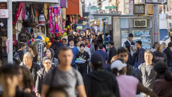
NYC renovations for dangerous, ‘mercilessly crammed’ street delayed until 2027
Construction was supposed to begin this fall.
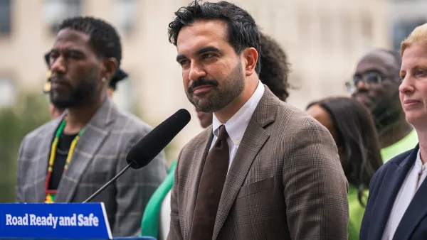
NYC votes to cut outdoor dining red tape, speed up permitting
New York City also voted to allow the Department of Transportation to begin work on urgent projects before notifying elected officials.
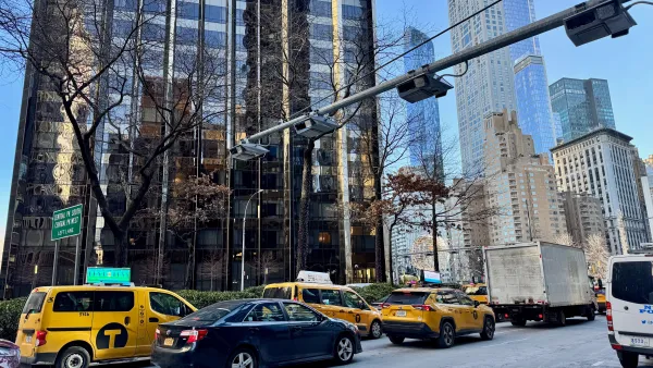
Data reveals that NYC’s bet on congestion pricing has paid off
After almost two years of the program, reports show positive impacts on traffic and air quality and no disruptions to parking.

Planetizen Federal Action Tracker
A weekly monitor of how Trump’s orders and actions are impacting planners and planning in America.

Eastern Nebraska is running out of electricity
Data centers and electrification are straining eastern Nebraska’s grid, throttling economic development.

Study reveals best places in the U.S. for cycling, walking
New research from Streetlight Data examines bicycle and pedestrian miles per capita in the 100 largest U.S. cities by population.

Federal government nominates new FTA administrator
Mark Aesch is currently the founder and CEO of a transportation management consulting firm.

Developers reveal $10 billion stadium plan as ‘Hail Mary’ to keep Bears in Chicago
The plan would also boast a public park, high- and mid-rise buildings and a youth sports complex.

As Texas embraces carbon storage, a Black community questions the risks
Texas now issues permits for companies to store carbon dioxide underground. East Texas residents fear safety risks, and skeptics doubt the climate benefits.

FREE Course: Walkable City 1: Why Walkability?
After describing his path towards focusing on walkability as the essence of good planning, Jeff Speck marches through his five principal reasons for making more walkable places.
Reinventing Malls: Planning Alchemy—Turning Gray Fields Into Gold
The course focuses on the opportunities and imperatives that shape reinvention of mall sites.

City of Rosemead
Rutgers University, Edward J. Bloustein School of Planning and Public Policy
One Hundred Miles
University of Michigan School for Environment and Sustainability (SEAS)
Hunter College, City University of New York (CUNY)
The Architects Foundation
City of Cambridge
The Pocatello Development Authority
The Urban Renewal Agency of the City of Pocatello