Changes to Sound Transit signage could make it difficult to navigate the region's train system.


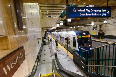
New wayfinding signage installed by Sound Transit is confusing some travelers, writes Erica C. Barnett in PubliCola.
Although the agency made changes that it said are in line with "international standards," in part to make them easier to understand for international travelers visiting for the World Cup, "some of the new features, such as the addition of station numbers to route maps and the removal of location information from station exits, are more confusing than clarifying."
According to Barnett, "State law requires some kind of station identifier that people with limited English proficiency can easily remember. Previously, Sound Transit used a series of baffling pictograms; these included two types of bird, two types of boat, and both a moose and a deer. Unfortunately, the three-digit system seems like a marginal improvement, at best, over the twee old silhouette-style images."
Barnett notes that Sound Transit also duplicates station numbers, making it easy to confuse two stations on different lines for one another. "The potential for rider confusion is only compounded by the fact that Sound Transit now uses the terminal station for each line to identify which direction a train is going, rather than simple directions (north/south, east/west) or common destinations ('downtown Seattle'/'Airport'). Thus, a rider going downtown from Beacon Hill has to decide whether to stand on the side of the station that’s bound for 'Lynnwood City Center' or 'Downtown Federal Way,' with no obvious indication where these two non-destination cities are located geographically."
For Barnett, "Sound Transit’s wayfinding system seems—perhaps not without reason—like a series of well-intentioned choices made by people who don’t actually use transit regularly."
Read the full story: Sound Transit’s Bespoke Wayfinding System Is Unnecessarily Baffling

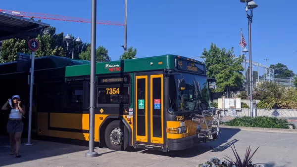
King County Metro adds 3,000 weekly bus trips, more connections to rail
King County Metro and Sound Transit are both making major adjustments to their bus networks to improve light rail connectivity across the region.
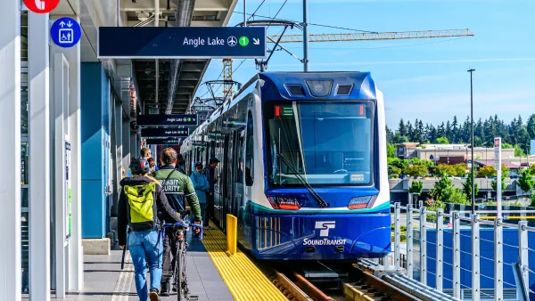
Sound Transit says train to Ballard is still coming
Agency officials say reports of the line's demise are exaggerated and that it remains in its plans.
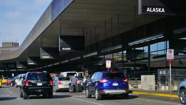
Seattle Launches 24/7 Bus Service to SeaTac Airport
A new pilot program provides round-the-clock service to the city’s international airport.

Planetizen Federal Action Tracker
A weekly monitor of how Trump’s orders and actions are impacting planners and planning in America.

‘Going backwards:’ Baltimore mayor, students rally against state's transit funding plan
Maryland's proposed six-year plan provides no funding for Baltimore’s BMORE bus program and reduces its road maintenance funding.

Detroit to transform waterfront with $2.2 billion investment
Developers will convert about 18 acres of unused parking lot space into civic spaces.

Senate bill would ‘overhaul’ environmental permitting laws
Under the proposed act, government agencies would also not be able to suspend or rescind permits after granting them.

Exemption applications for NYC’s pied-à-terre tax see 55% success rate
The city sent nearly 40% of its initial pied-à-terre tax warnings erroneously.

MTA invests $1.1 billion in ‘nearly-impossible’-to-evade fare gates
The new technology marks the Metropolitan Transit Authority's first turnstile redesign in decades.

FREE Course: Walkable City 1: Why Walkability?
After describing his path towards focusing on walkability as the essence of good planning, Jeff Speck marches through his five principal reasons for making more walkable places.
Reinventing Malls: Planning Alchemy—Turning Gray Fields Into Gold
The course focuses on the opportunities and imperatives that shape reinvention of mall sites.

One Hundred Miles
County of Mendocino
planning NEXT
The Architects Foundation
University of Cincinnati Online
Montrose County
Northern Illinois Transit Authority (NITA)
The Pocatello Development Authority