Honda vehicles equipped with LiDAR and video sensors can flag road deficiencies such as emerging potholes, obstructed signs, and damaged guardrails.



A pilot program conducted by Honda, DriveOhio, and the Ohio Department of Transportation (ODOT) used state vehicles with advanced vision and LiDAR sensors to proactively identify “potential issues and road deficiencies” such as rough roads, obstructed signs, or damaged guardrails.
As Matt Tate explains in Engadget, “ODOT operators were able to review any flagged road or infrastructure deficiencies in real time using smart dashboards developed by Honda and tech firm Parsons.” The data was then used to generate work orders for ODOT’s maintenance teams.
According to Tate, “While a relatively small pilot in scope, the Proactive Roadway Maintenance System performed well in the trial across a number of metrics, delivering as high as 99 percent accuracy at highlighting damaged or obstructed signs. Accuracy was 93 percent for damaged guardrails and a slightly lower 89 percent for spotting potholes.”
FULL STORY: Honda vehicles used to proactively report road safety issues in nation-first pilot

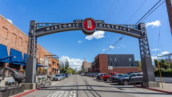
Sacramento Faces a $5 Billion Backlog of Transportation Projects
Between 2015 and 2024, 22,538 injury or fatal crashes occurred on Sacramento streets.
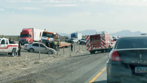
Texas AI study links disparate data sets to identify dangerous road segments
A new study combines multiple data sources to assess roadway risks.
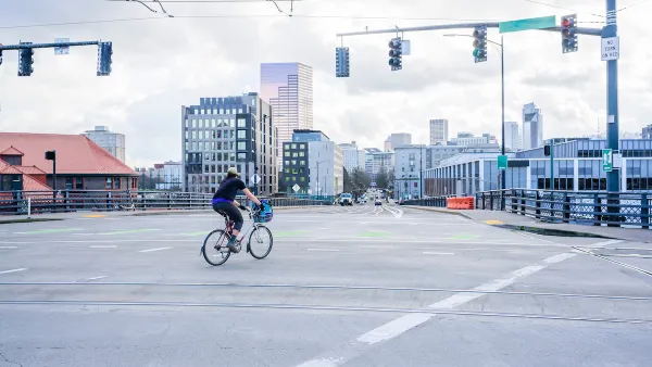
Portland Gas Tax Renewal Up to Voters
Without the extension, the city’s transportation bureau faces a $32 million shortfall.

The state-sanctioned urbicide of Austin
People don’t kill cities. Freeways do.

US to reduce Colorado River water deliveries to Mexico
A new Colorado Treaty amendment reduces Mexico’s Colorado River water allocation by 250,000 acre feet.

New Jersey’s second-largest city bans standalone data centers
Jersey City will continue to allow co-location facilities, such as those meant for research institutions that store their own data.

Amtrak not solely to blame for New Jersey commuter rail's unreliability, report finds
A new study from the Garden State Initiative found that NJ Transit’s budget grew 20% across a 4 year period, but reliability declined significantly over the same period.

EPA erases limits on planet-warming pollution from power plants
Under Monday’s plan, power plants would still have some limits on how much mercury, arsenic and other contaminants they can emit.

Phoenix announces new on-demand transit service, more frequent RAPID buses
Both new services will launch in October, and are part of Phoenix's Project Effective Access Solutions for Easing Congestion.

FREE Course: Walkable City 1: Why Walkability?
After describing his path towards focusing on walkability as the essence of good planning, Jeff Speck marches through his five principal reasons for making more walkable places.
Reinventing Malls: Planning Alchemy—Turning Gray Fields Into Gold
The course focuses on the opportunities and imperatives that shape reinvention of mall sites.

Eagle County Government
Harvard University Graduate School of Design
Nashville Planning Department
The Architects Foundation
University of Cincinnati Online
The Pocatello Development Authority
The Urban Renewal Agency of the City of Pocatello
Journal of the American Planning Association