Road Conditions
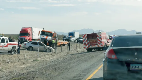
Texas AI study links disparate data sets to identify dangerous road segments
A new study combines multiple data sources to assess roadway risks.
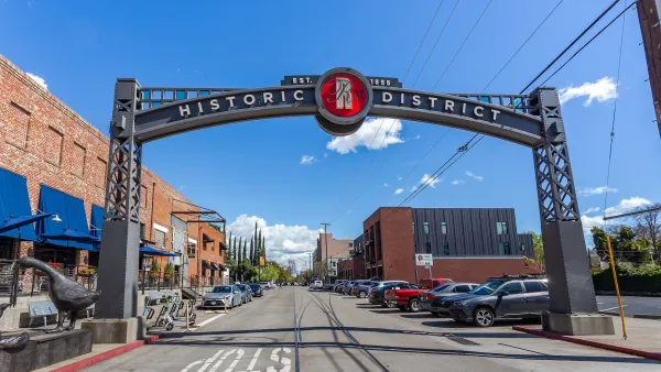
Sacramento Faces a $5 Billion Backlog of Transportation Projects
Between 2015 and 2024, 22,538 injury or fatal crashes occurred on Sacramento streets.
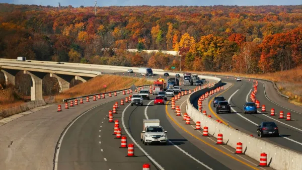
First-of-its-kind Ohio Pilot Used Car Sensors to Report Poor Road Conditions
Honda vehicles equipped with LiDAR and video sensors can flag road deficiencies such as emerging potholes, obstructed signs, and damaged guardrails.

Potholes Don’t Discriminate, but a Plan to Fix Oakland Streets Reveals Stark Divides in the City
The city has a plan to tackle its pothole problem that it says is equitable. But, some residents say it isn’t fair.

FREE Course: Walkable City 1: Why Walkability?
After describing his path towards focusing on walkability as the essence of good planning, Jeff Speck marches through his five principal reasons for making more walkable places.
Reinventing Malls: Planning Alchemy—Turning Gray Fields Into Gold
The course focuses on the opportunities and imperatives that shape reinvention of mall sites.

City of Rosemead
Rutgers University, Edward J. Bloustein School of Planning and Public Policy
One Hundred Miles
Hunter College, City University of New York (CUNY)
The Architects Foundation
University of Cincinnati Online
City of Cambridge
Montrose County
The Pocatello Development Authority