A plan to elevate the roadway and restore adjacent wetlands could take decades to complete.


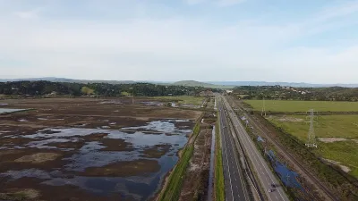
A California state highway connecting Vallejo and Novato in the San Francisco Bay Area will likely be underwater by 2100, prompting the California Department of Transportation (Caltrans) to develop a plan to widen and lift the roadway to prevent flooding and allow the area’s natural wetlands to return.
As Sonya Bennett-Brandt explains in Bay Nature, the project is complex: “Planning a highway at the edge of a rising bay has required an almost science fiction-esque brainstorm, like setting up a colony on Mars: hostile conditions, limited resources, and a long list of life-support systems that have to work in tandem.” Removing the highway altogether would create an arduous commute for the many low-income workers living in Solano County and working in Napa and Sonoma Counties.
After a long series of discussions and proposed alternatives, Caltrans selected Alternative 5, a proposal that includes a raised causeway alongside the existing roadway. The entire plan will likely take decades to complete and cost $6 to 11 billion. While this will theoretically allow water to flow underneath to restore the Baylands, the question of what will happen to the old road — and how the project will be funded — remains open.
Read the full story: What to Do When Your Highway Is Slipping Into the Sea

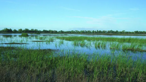
Bay Area Developments at Risk From Sea Level Rise
A controversial proposed housing development in Newark exemplifies the struggle between increasing housing supply and protecting vulnerable shoreline communities from flooding.
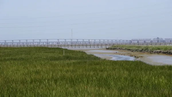
Bay Area Design Challenge Takes On Sea Level Rise
For the next several months, nine sites will be the focus of efforts to design for resilience as sea levels rise. Proposals involve "threading nature back into an urbanized terrain."
Bay Area's First Climate Adaptation Project Could Be a North Bay Highway
State Route 37 is a vital highway connecting four North Bay counties plagued by two unrelated problems: chronic flooding during high tides and traffic congestion. Fixing the problem will set a precedent for Bay Area climate adaptation.

Planetizen Federal Action Tracker
A weekly monitor of how Trump’s orders and actions are impacting planners and planning in America.

California plans to bury El Niño’s downpour
If the state plays its cards right, it may be able to store a billion acre-feet of El Niño’s water in aquifers.

Chicago breaks ground on $3 billion megadevelopment
The new neighborhood, titled Foundry Park, will one day host 3,700 residences.

California High-Speed Rail Authority CEO resigns after $600,000 scandal
Under Ian Choudri, the authority used taxpayer dollars to fund first class flights and trips to nightclubs.

Want to study the Missouri River? Soon, you may need unanimous approval from 10 states
Legislation would require 10 governors’ permission to study or build projects moving water outside the basin.

Desperate measures: Advocates weigh draining Lake Powell to fill Colorado River
Draining the reservoir could reduce evaporation losses by a couple hundred thousand acre-feet.

FREE Course: Walkable City 1: Why Walkability?
After describing his path towards focusing on walkability as the essence of good planning, Jeff Speck marches through his five principal reasons for making more walkable places.
Reinventing Malls: Planning Alchemy—Turning Gray Fields Into Gold
The course focuses on the opportunities and imperatives that shape reinvention of mall sites.


City of Rosemead
Rutgers University, Edward J. Bloustein School of Planning and Public Policy
One Hundred Miles
Hunter College, City University of New York (CUNY)
The Architects Foundation
University of Cincinnati Online
City of Cambridge
Montrose County
The Pocatello Development Authority